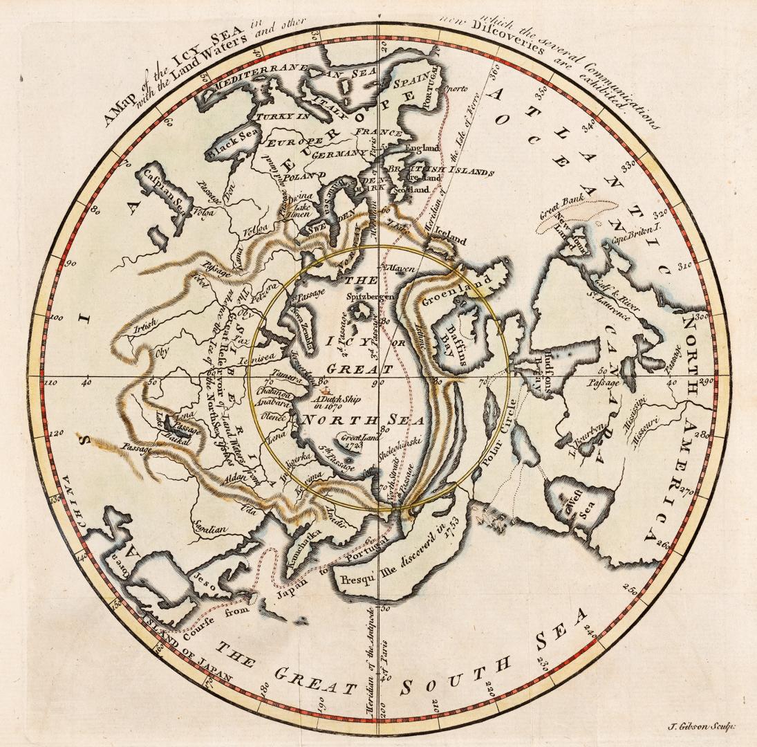

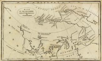
A map of the Icy Sea in which the several Communications with the land waters and other new discoveries are exhibited
DateApproximately 1760
Names
Gibson, J. (John), active 1750-1792
(cartographer)
Gibson, J. (John), active 1750-1792
(engraver)
Gibson, J. (John), active 1750-1792
(draftsman)
Gentleman's Magazine
(publisher)
FormatMap
NotesMap was removed from Gentleman's Magazine v.30 1760. opp. 284.
Medium
Dimensions22 x 25.5 cm
Language
ProvenanceFrom the George Weston Limited donation of printed maps and illustrations 2002
CollectionBaldwin Collection of Canadiana
Usage Rights
Public Domain
(Learn More)
Object Number912-19632-G37-WESTON-27
Dewey912.19632 G37 (Weston donation maps drawer, map #27)
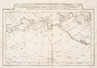
Approximately 1820