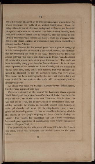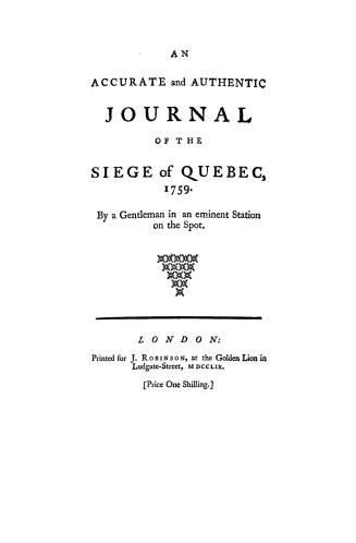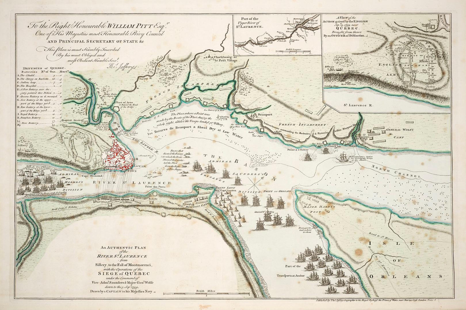

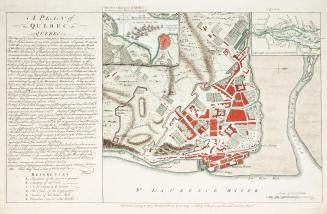
An authentic plan of the River St
Date1759
Names
Captain in his majesties navy
(contributor)
Jefferys, Thomas, -1771
(author)
Thomas Jefferys
(publisher)
FormatMap
NotesAn authentic plan of the River St. Laurence from Sillery, to the fall of Montmorenci, with the operations of the siege of Quebec under the command of Vice-Adml. Saunders & Major Genl.Wolfe down to the 5 Sepr 1759
Subject
Medium
Dimensions1" = 2.2 British miles : 32.5 x 47 cm on sheet 40 x 54 cm
Language
ProvenanceGift of James bain family, 2008
CollectionBaldwin Collection of Canadiana
Usage Rights
Public Domain
(Learn More)
Object Number971-0188J24
Dewey971.0188 J24
1759