
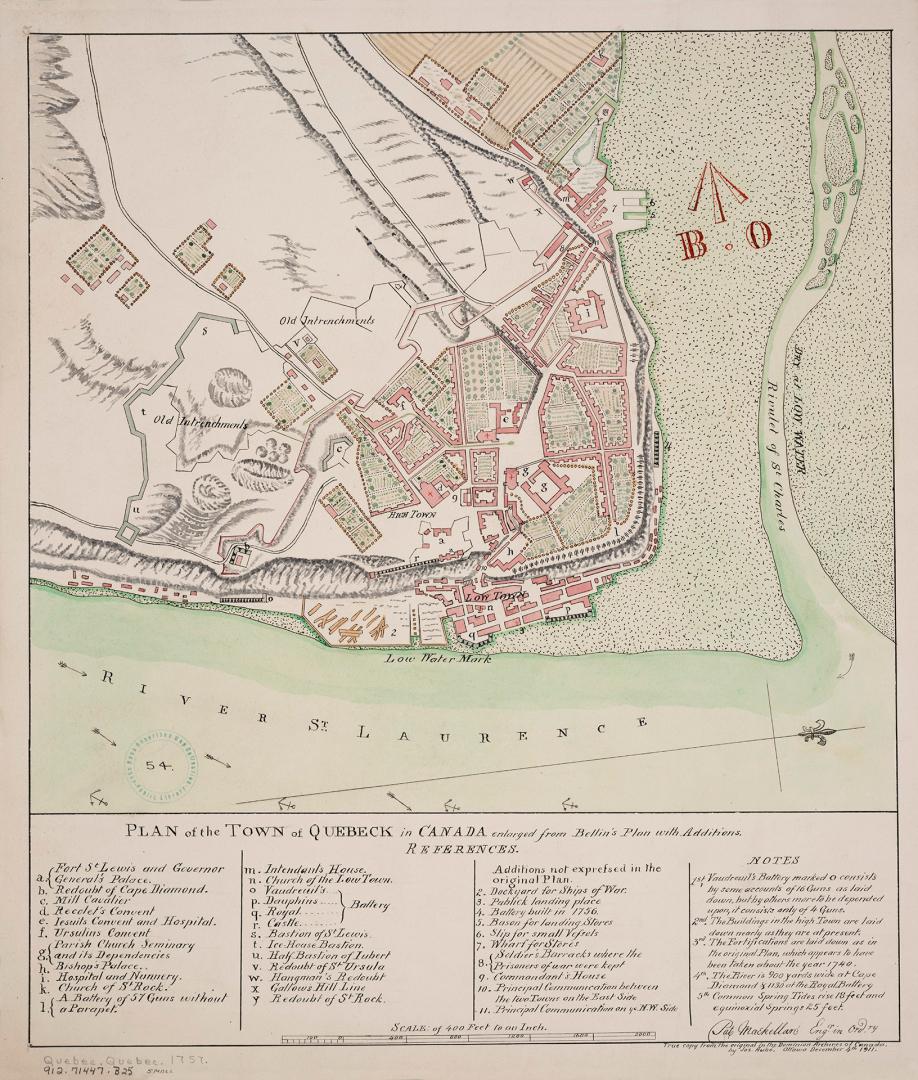

Plan of the town of Quebeck in Canada enlarged from Bellin's plan with additions [1757]
DateDecember 4, 1911
Names
Bellin, Jacques Nicolas, 1703-1772
(cartographer)
MacKellar, Pat
(contributor)
FormatMap
NotesThis map is a 1911 reproduction of the original 1757 Bellin map in Dominion Archives (now Library and Archives Canada). This true copy was created by James Aube on December 4th, 1911.
Subject
Dimensions43.5 cm x 38 cm (17 1/8 in. x 14 15/16 in.)
ScaleBar scale; 400 feet to an inch
Language
ProvenanceJohn Ross Robertson Collection (JRR #54)
CollectionBaldwin Collection of Canadiana
Usage Rights
Public Domain
(Learn
More)
Object Number912-71447-B25-SMALL
Dewey912.71447 B25
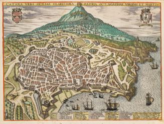
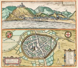
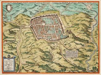
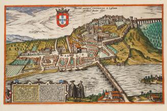
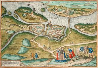
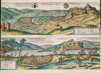
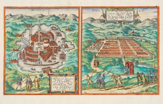
1595
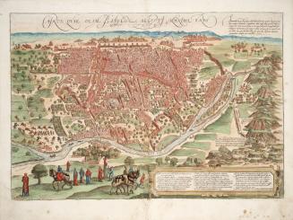
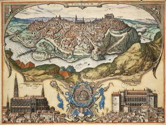
1566
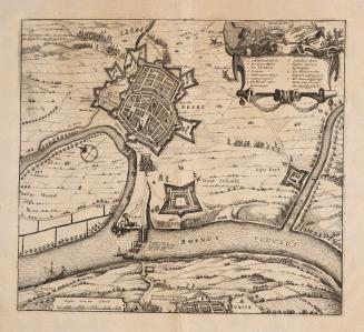
Approximately 1660
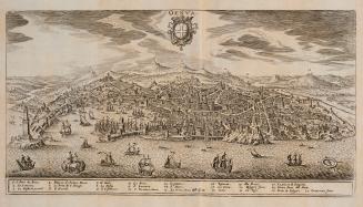
1638
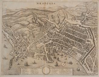
1638