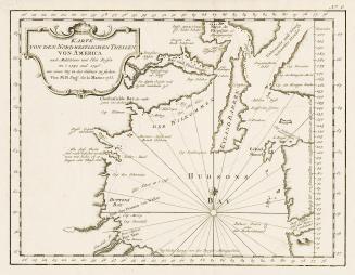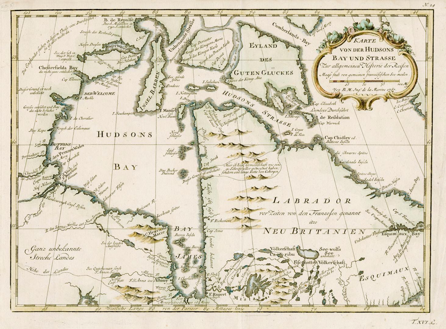

Karte von der Hudsons Bay und Strasse
Date1757
Names
Bellin, Jacques Nicolas, 1703-1772
(cartographer)
FormatMap
NotesSubject
Dimensions24 cm x 32 cm (9 7/16 in. x 12 5/8 in.)
Language
ProvenanceFrom the George Weston Limited donation of printed maps and illustrations 2002
CollectionBaldwin Collection of Canadiana
Usage Rights
Public Domain
(Learn More)
Object Number912-19632-B25-3-WESTON-24
Dewey912.19632 B25.3 (Weston donation maps drawer, map #24)