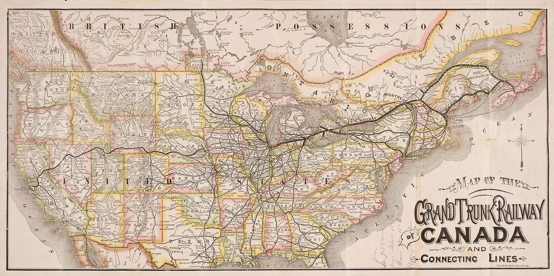

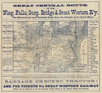
Grand Trunk Railway: the shortest and most direct route between all points east and west, Montreal, Quebec, Portland, New York, Boston, Kingston, Toronto, London, Guelph, Sarnia, Detroit, Milwaukee and Chicago: close connections made with all principal roads in Canada and the United States
DateApproximately 1880
Names
Rand, McNally
(publisher)
Format
General passenger time table
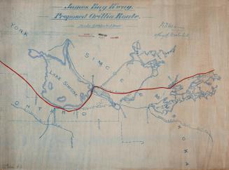
Map of the Grand Trunk Railway of Canada and connecting lines
Includes information on connections with the Northern Transit Co.'s steamers, dining cars between Toronto and Montreal and Pullman palace cars and sleepers
Includes information on connections with the Northern Transit Co.'s steamers, dining cars between Toronto and Montreal and Pullman palace cars and sleepers
Subject
Medium
DimensionsFolded: 18 cm (7 1/16 in.)
Language
CollectionBaldwin Collection of Canadiana
Usage Rights
Public Domain
(Learn More)
Call Number / Accession Number37131099669236D
Dewey Number385.2042 G67.3 \B BR JUNE 1880
Catalogue Record for Print Bookhttps://www.torontopubliclibrary.ca/detail.jsp?Ntt=1907445
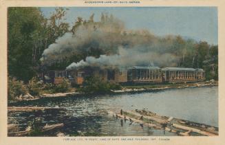
Country:Canada
18 January 1899
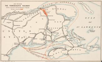
Approximately 1904