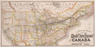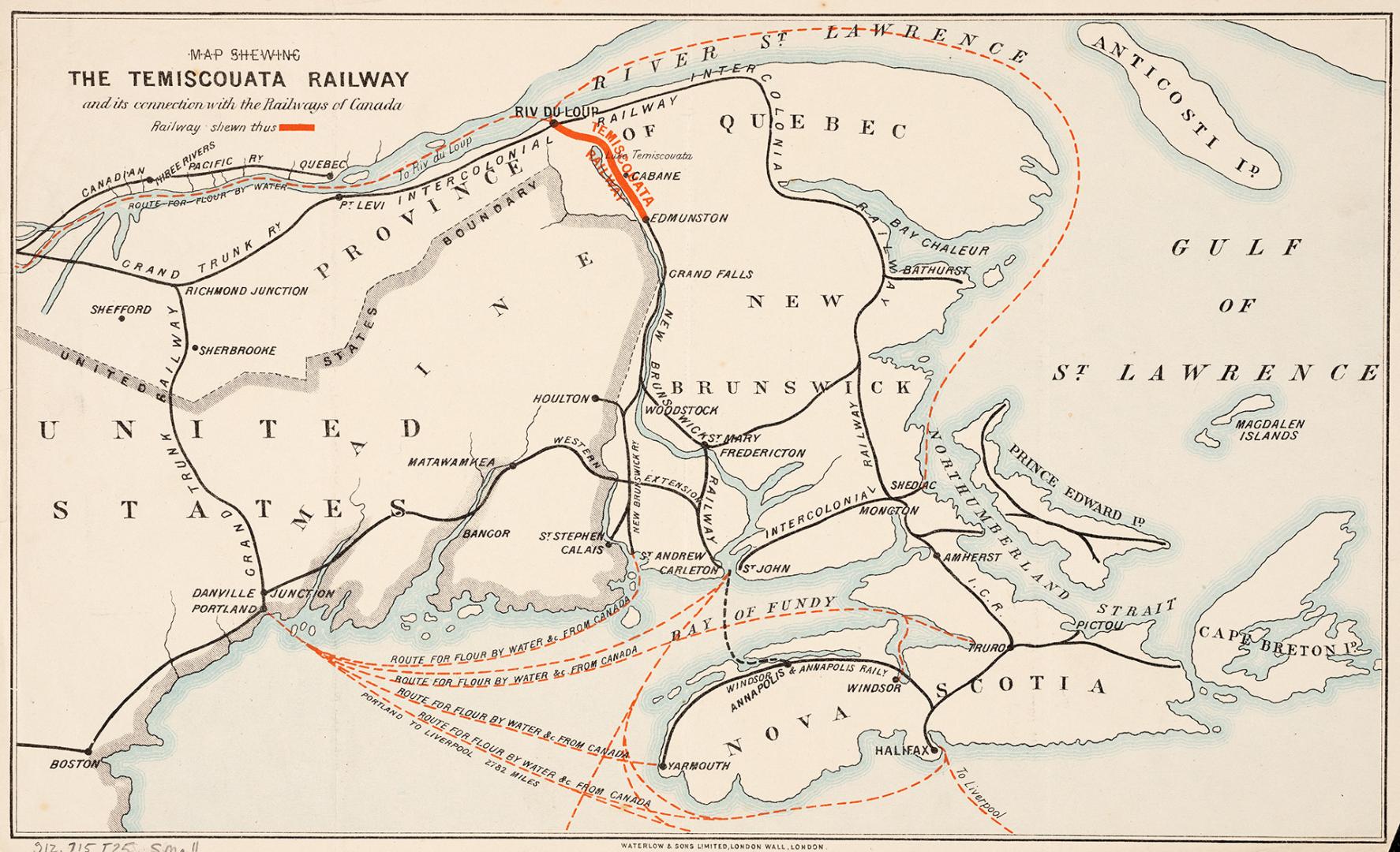

Map shewing Temiscouata Railway and its connection with the railways of Canada
DateApproximately 1890
Names
Waterlow and Sons
(engraver)
Waterlow and Sons
(printer)
FormatMap
GeographyGeographical FeatureCape Breton Island (N.S.)Anticosti Island (Québec)St. Lawrence RiverBay of Fundy (N.B.)
Dimensions20.5 cm x 33.5 cm (8 1/16 in. x 13 3/16 in.)
Language
CollectionBaldwin Collection of Canadiana
Usage Rights
Public Domain
(Learn
More)
Object Number912-715-T25-SMALL
Dewey912.715 T25 SMALL

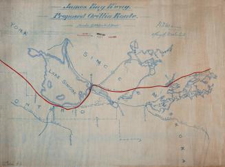
Approximately 1904
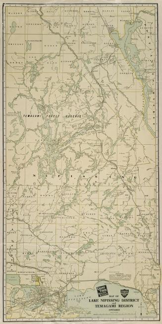
Approximately 1905