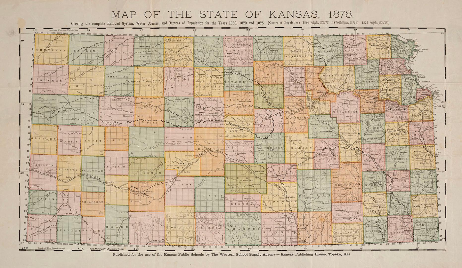

Map of the State of Kansas, 1878 showing the complete railroad system, water courses, and centres of population for the years 1860, 1870 and 1875
Date1878
FormatMap
NotesPublished for the use of the Kansas Public Schools by The Western School Supply Agency - Kansas Publishing House, Topeka, Kansas.
Subject
Dimensions35.5 cm x 61 cm (14 in. x 24 in.)
Language
CollectionBaldwin Collection of Canadiana
Usage Rights
Public Domain
(Learn More)
Object Number912-781-K12-SMALL
Dewey912.781 K12 (small)
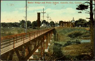
Approximately 1905
Approximately 1904


1924