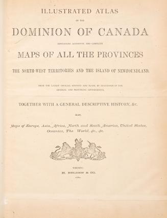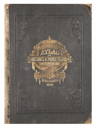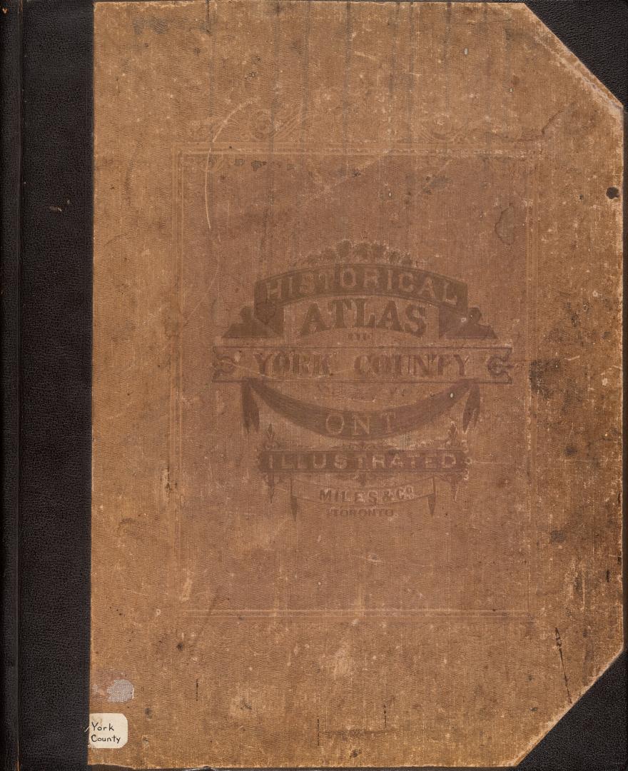

Illustrated historical atlas of the county of York, and the township of West Gwillimbury & town of Bradford in the county of Simcoe, Ont.
Date1878
Names
Format
An historical sketch of the county of York, by W. Canniff, p. [v]-xxii
Contents: County and Township Maps : County of York (entire), Townships of Etobicoke, Georgina, Gwillimbury, King, Markham, Scarborough, Vaughan, Whitechurch and York. County of Simcoe: Township of West Gwillimbury and Town of Bradford.
Town and Village Maps: Toronto, Aurora, Holland Landing, Klineburg, King, Lloydtown, Markham, Newmarket, Roach's Point, Richmond Hill, Schomberg, Sutton, Stouffville, Thornhill, Unionville, Weston, Woodbridge and Yorkville.
DimensionsCover size: 45 cm x 37 cm (17 11/16 in. x 14 9/16 in.)
Language
CollectionBaldwin Collection of Canadiana
Usage Rights
Public Domain
(Learn More)
Call Number / Accession Number37131055406391D
Dewey Number912.7135 M38 \B BR Folio
Catalogue Record for Print Bookhttps://www.torontopubliclibrary.ca/detail.jsp?Ntt=547881
Country:Canada
City, town or township:Bradford West Gwillimbury
County:Simcoe (Ont. : County)
Historical location:York (Ont. : County)
Province or state:Ontario