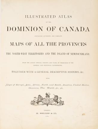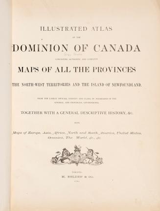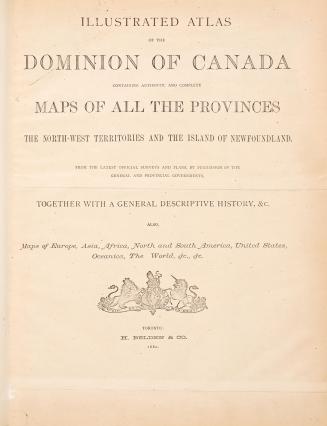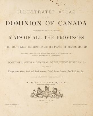

Illustrated atlas of the Dominion of Canada, containing authentic and complete maps of all the provinces, the North-west territories and the island of Newfoundland, from the latest official surveys and plans, by permission of the general and provincial governments, together with a general descriptive history, &c., also maps of Europe, Asia, Africa, North and South America, United States, Oceania, the world, etc. ... Lanark County
Date1880
Names
FormatBook
NotesIncludes biographical sketches and directory of Lanark County subscribers
DimensionsCover size: 45 cm (17 11/16 in.)
Language
CollectionBaldwin Collection of Canadiana
Usage Rights
Public Domain
(Learn More)
Object Number37131099667883D
Dewey912.71 B25 Folio
Catalogue Record for Print Book
https://www.torontopubliclibrary.ca/detail.jsp?Ntt=411849