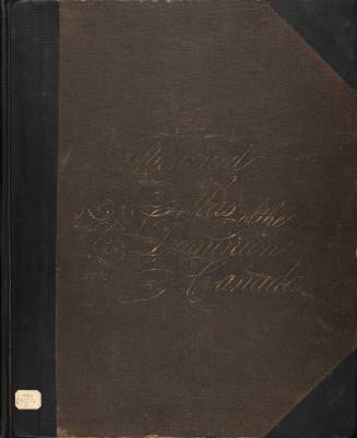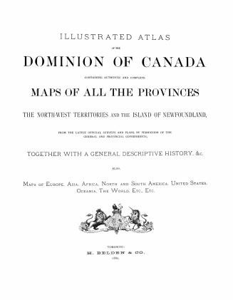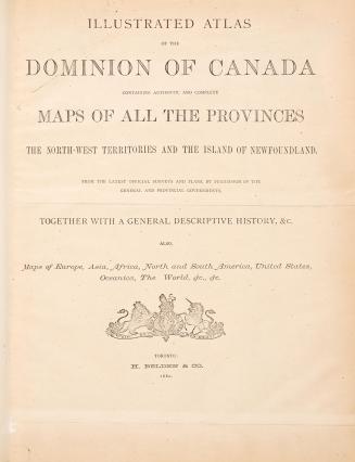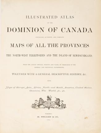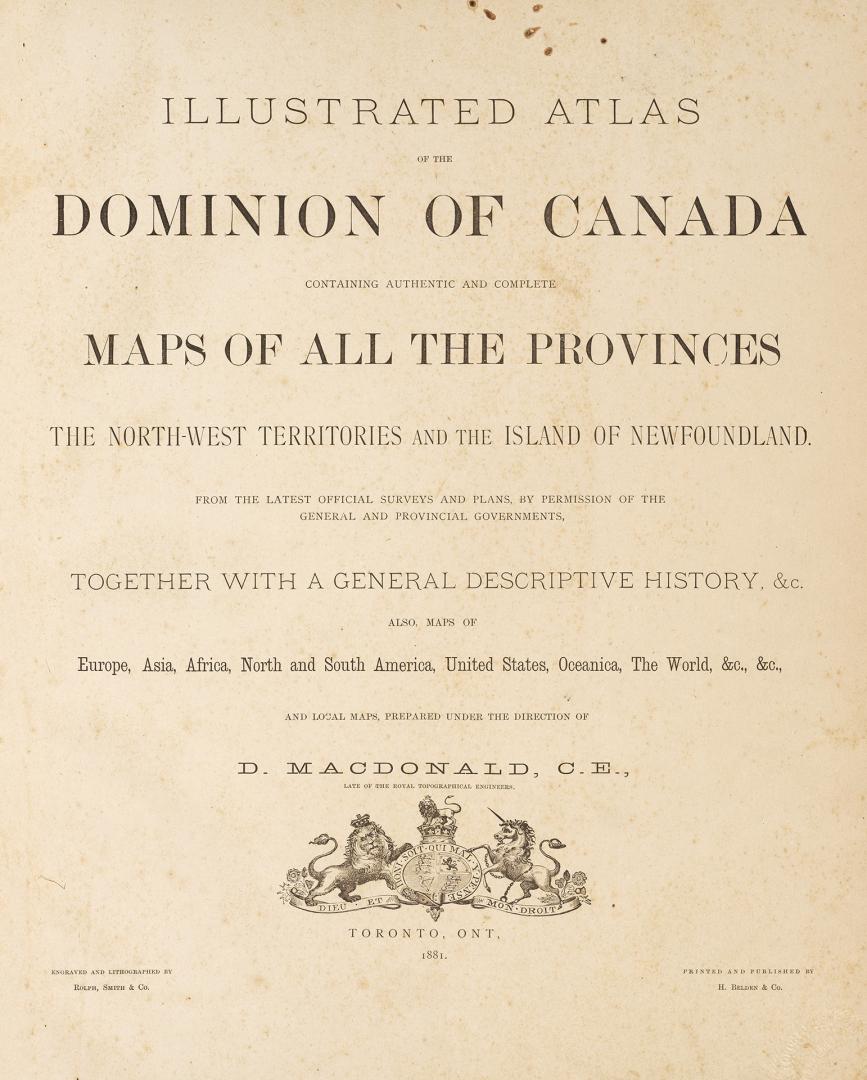

Illustrated atlas of the Dominion of Canada, containing authentic and complete maps of all the Provinces, the North-West Territories and the Island of Newfoundland
Date1881
Names
H. Belden & Co.
(publisher)
H. Belden & Co.
(issuing body)
H. Belden & Co.
(cartographer)
MacDonald, D. (Cartographer)
(cartographer)
Rolph, Smith & Co.
(engraver)
Format
From the latest official surveys and plans, by the permission of the general and provincial governments, together with a general descriptive history, &c. Also, maps of Europe, Asia, Africa, North and South America, United States, Oceanica, the World, &c., &c., and local maps, prepared under the direction of D. MacDonald, C.E.. Scales vary;
Essex edition: contains a chapter ''Historical sketch of the county of Essex'' (xi pages);
''Biographical directory of Essex County subscribers'' (7 pages at the end)
Essex edition: contains a chapter ''Historical sketch of the county of Essex'' (xi pages);
''Biographical directory of Essex County subscribers'' (7 pages at the end)
Medium
DimensionsCover size: 46 cm (18 1/8 in.)
Language
CollectionBaldwin Collection of Canadiana
Usage Rights
Public Domain
(Learn More)
Call Number / Accession Number37131099667917D
Dewey Number912.71 B25.17 Folio
Catalogue Record for Print Bookhttps://www.torontopubliclibrary.ca/detail.jsp?Ntt=1571480
Country:Canada
County:Essex (Ont. : County)
Province or state:Ontario