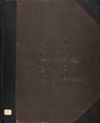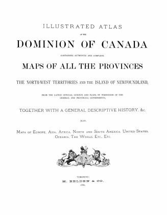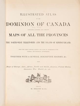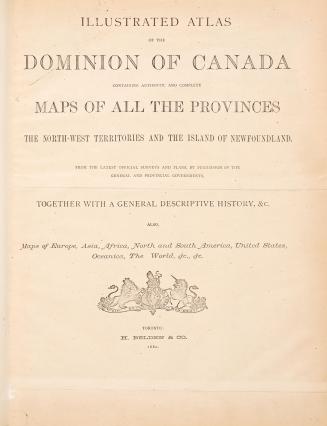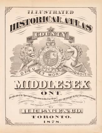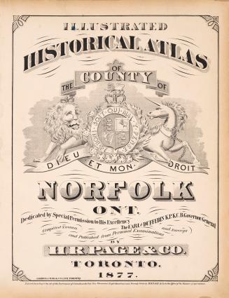

Illustrated atlas of the Dominion of Canada, containing authentic and complete maps of all the provinces, the North-West Territories and the island of Newfoundland, from the latest official surveys and plans, by permission of the general and provincial governments, together with a general descriptive history, &c., also maps of Europe, Asia, Africa, North and South America, United States, Oceania, the World, &c., &c.
Date1880
Names
H. Belden & Co.
(publisher)
H. Belden & Co.
(issuing body)
FormatBook
NotesIncludes a Historical Sketch of the County of Bruce p. 56 - 69.
Medium
DimensionsCover size: 43 cm (16 15/16 in.)
Language
CollectionBaldwin Collection of Canadiana
Usage Rights
Public Domain
(Learn More)
Object Number37131099667842D
Dewey912.71 B25.13 Folio
Catalogue Record for Print Book
https://www.torontopubliclibrary.ca/detail.jsp?Ntt=1203602