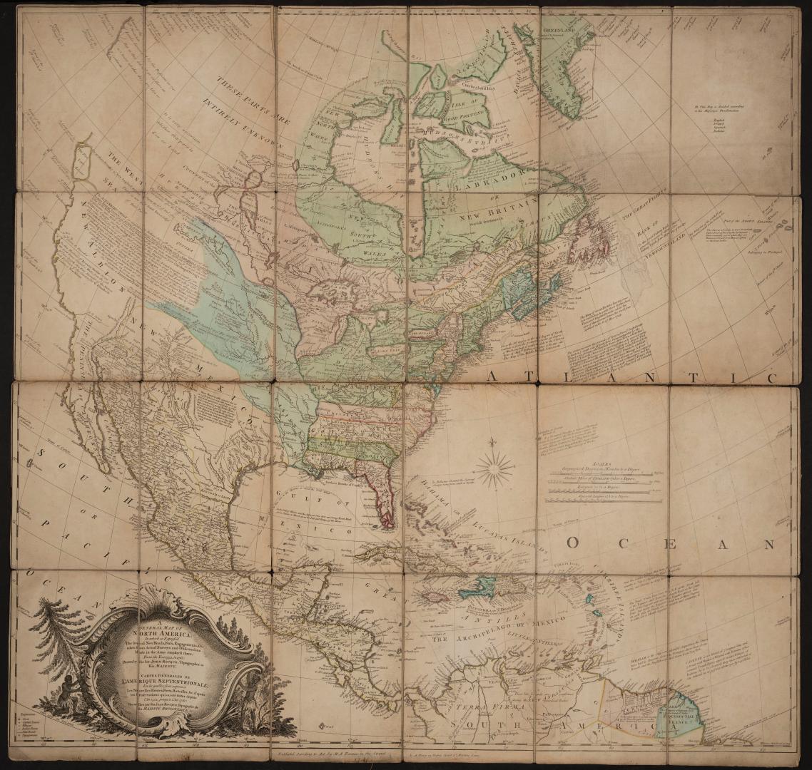

A general map of North America; in which is express'd the several new roads, forts, engagements, &c., taken from actual surveys and observations made in the army emply'd there, from the year 1754 to 1761: drawn by the late John Rocque, topographer to His Majesty.
Date1761
Names
Alternate Title
- Cartes generales de l'Amerique Septentrionale; en les quelles sont exprimés les nouvelles routes, forts, battailles, &c. d'après les observations qui ou etè faites depuis l'an 1754, jusqu'a l'an 1761
FormatMap
Dimensions88 cm x 93 cm (34 5/8 in. x 36 5/8 in.)
ScaleVarious bar scales
CollectionBaldwin Collection of Canadiana
Usage Rights
Public Domain
(Learn
More)
Object Number912-7-R57-FRAGILE-FOLD
Dewey912.7 R57 (Fragile Fold map cabinet)
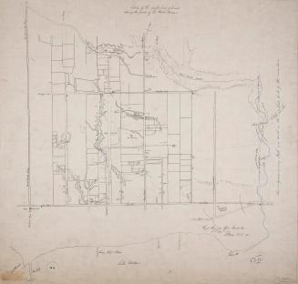
Approximately 1908
Approximately 1908
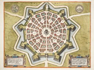
Approximately 1600
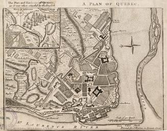
1759
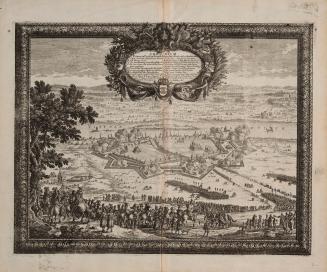
Approximately 1660