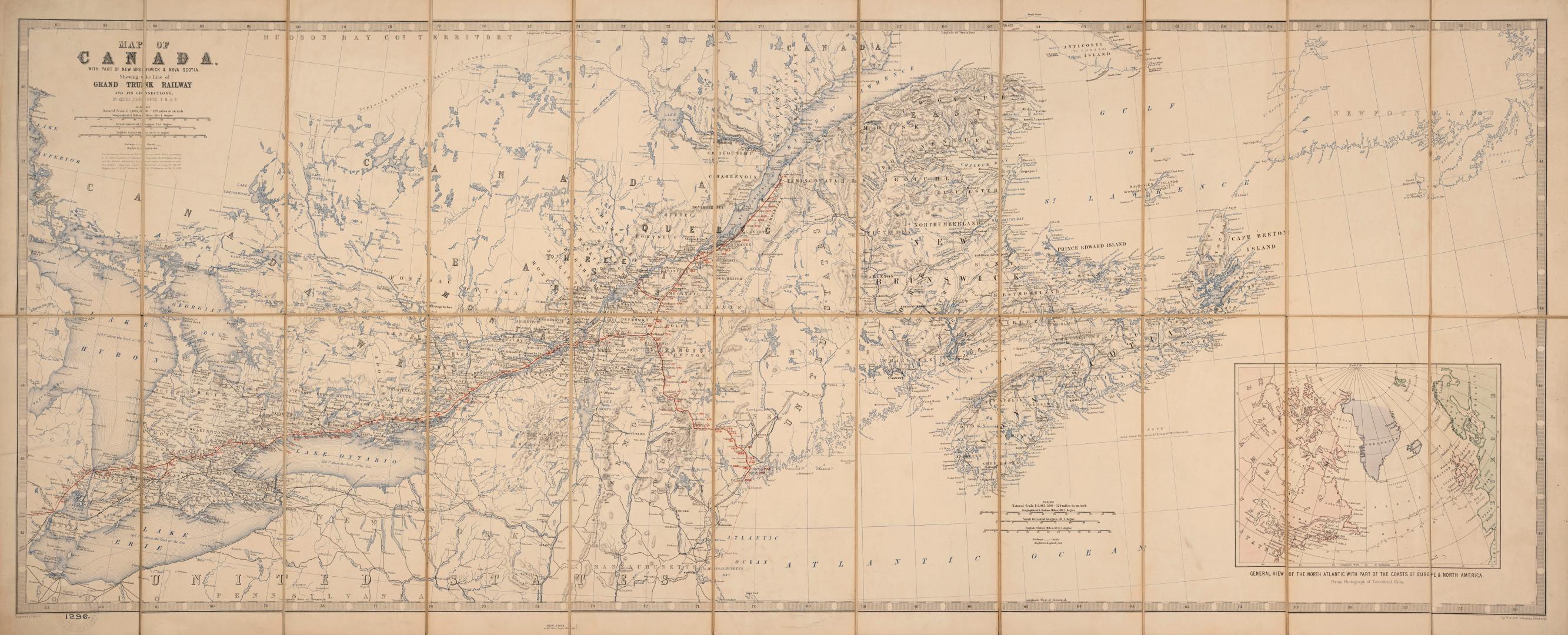

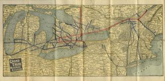
Map of Canada with part of New Brunswick & Nova Scotia shewing the line of Grand Trunk Railway and its connections
Date1860
Names
Johnston, Alexander Keith, 1804-1871
(cartographer)
Johnston, Alexander Keith, 1804-1871
(publisher)
Grand Trunk Railway Company
(subject)
FormatMap
NotesIncludes inset of general view of the North Atlantic with parts of the coasts of Europe & North America from photograph of terrestrial globe
GeographyProvince stateOntarioPrince Edward IslandNew BrunswickNova ScotiaQuébecNewfoundland and Labrador
Dimensions48 cm x 108 cm (18 7/8 in. x 42 1/2 in.)
ScaleVarious bar scales
Language
CollectionBaldwin Collection of Canadiana
Usage Rights
Public Domain
(Learn
More)
Object Number912-71-J57-FRAGILE-FOLD
Dewey912.71 J57 (Fragile Fold map cabinet)
Approximately 1901
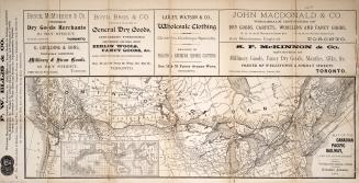
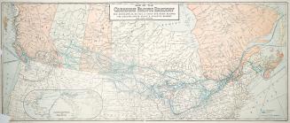

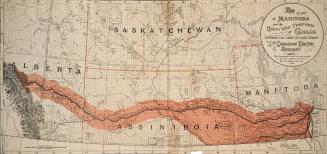
Approximately 1878