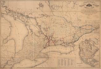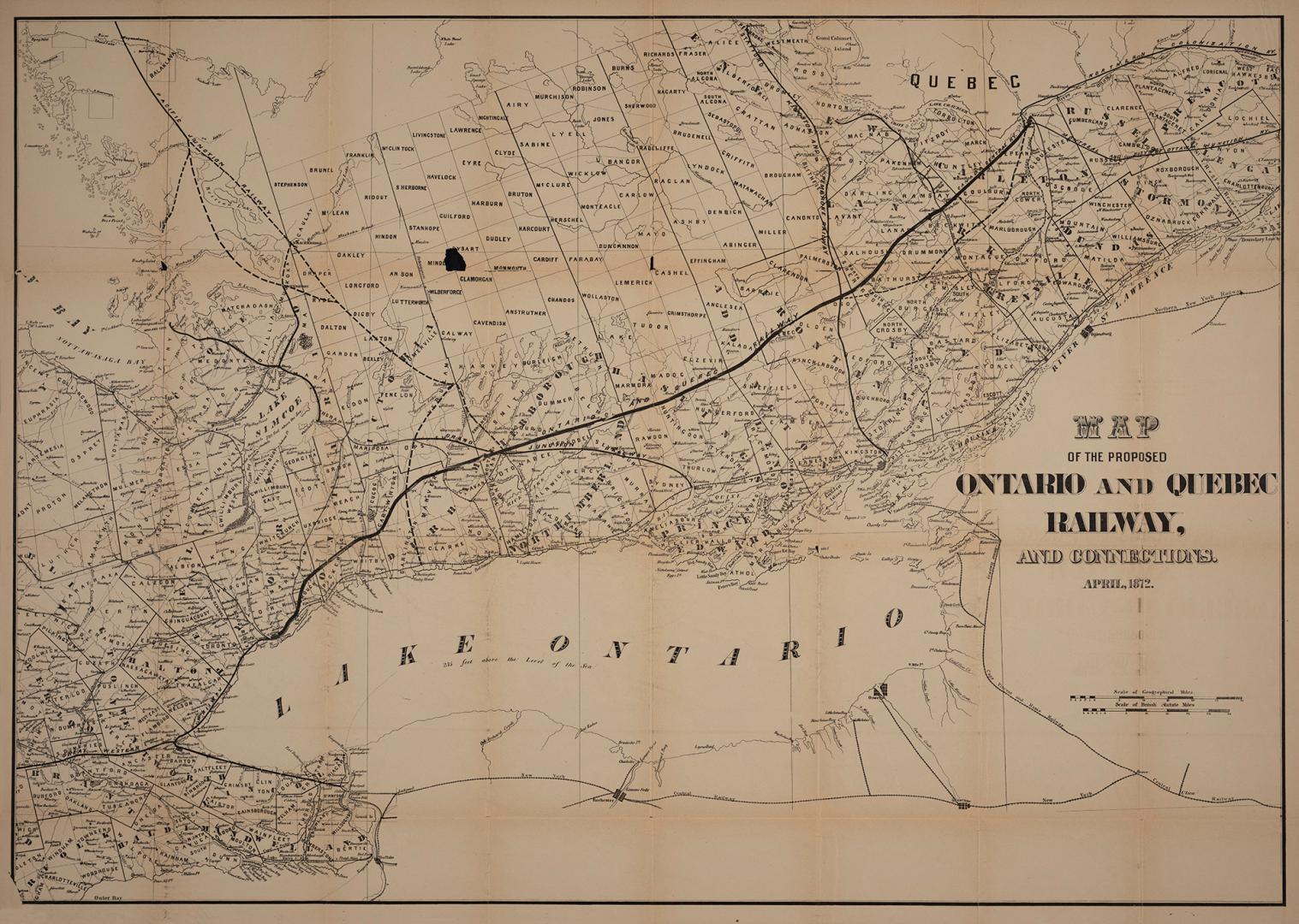

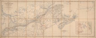
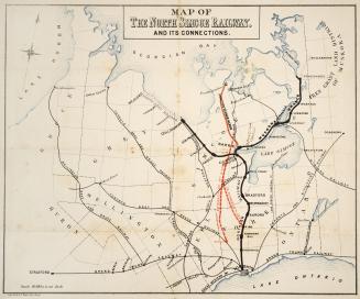
Map of the proposed Ontario and Québec railway and connections
Date1 April 1872
Names
Unknown
(cartographer)
FormatMap
Dimensions68.5 cm x 96 cm (26 15/16 in. x 37 13/16 in.)
ScaleBar scales
ScaleScale of geographical miles
ScaleScale of British Statute miles
Language
CollectionBaldwin Collection of Canadiana
Usage Rights
Public Domain
(Learn
More)
Object Number385-09713-M12
Dewey385.09713 M12
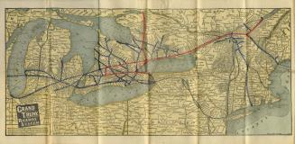
Approximately 1901
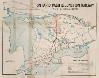
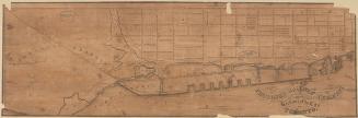
Approximately 1878