
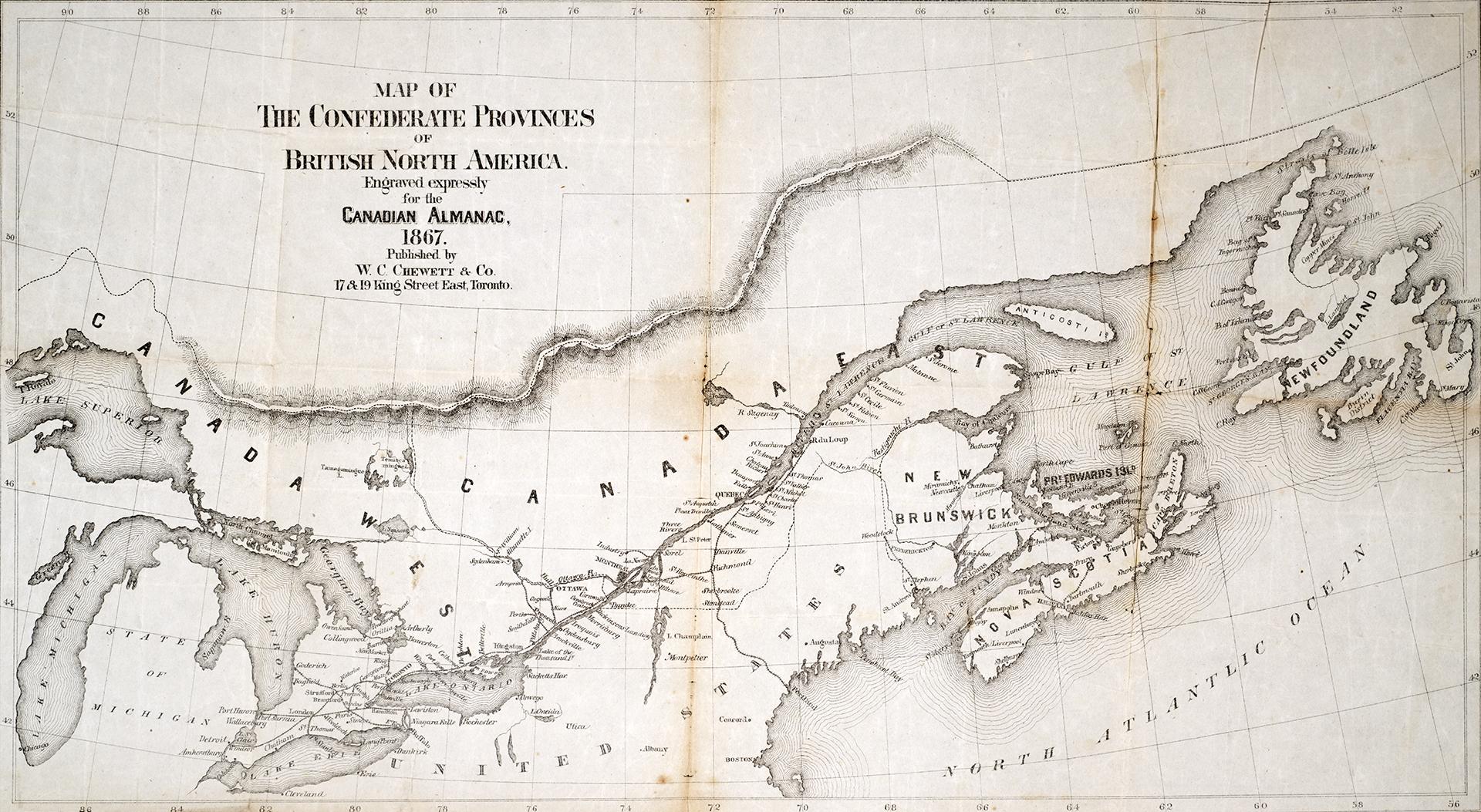

Map of the Confederate Provinces of British North America engraved expressly for the Canadian Almanac 1867
Date1868
Names
Chewitt, William, 1753-1849
(surveyor)
W.C. Chewett
(publisher)
FormatMap
Subject
Medium
Dimensions30.5 x 56 cm
Language
CollectionBaldwin Collection of Canadiana
Usage Rights
Public Domain
(Learn More)
Object Number912-71-C34-4-SMALL
Dewey912.71 C34.4 SMALL
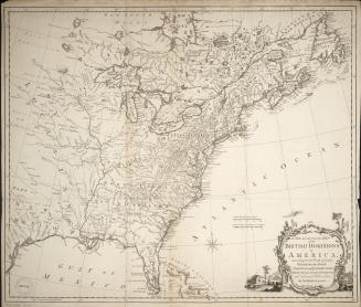
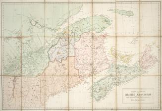
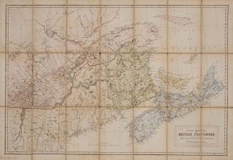
Approximately 1850