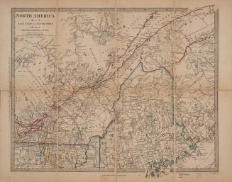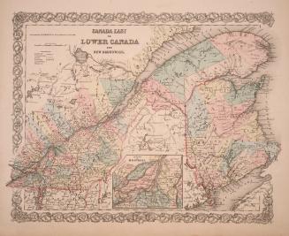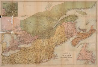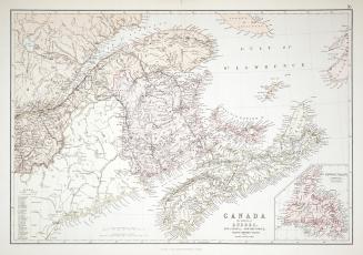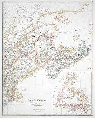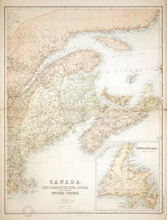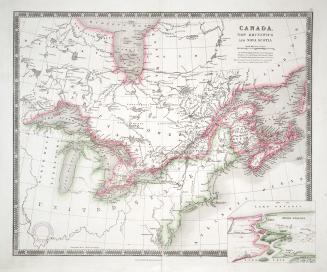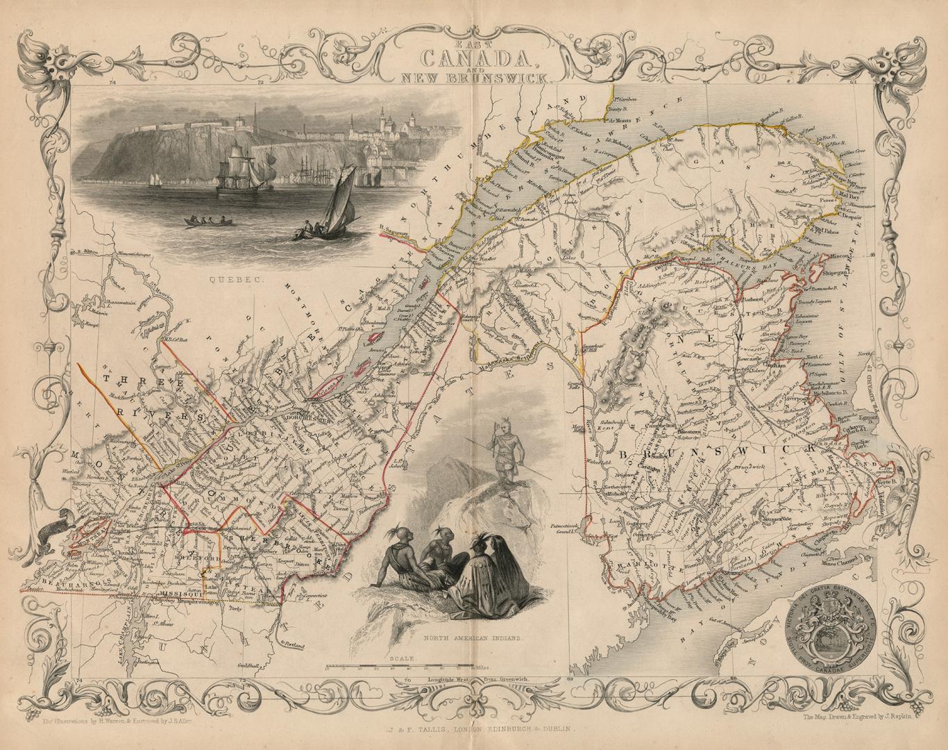

East Canada and New Brunswick
Date1851
Names
Allen J. B.
(engraver)
J & F Tallis
(publisher)
Rapkin, John, 1815-1876
(cartographer)
Warren, Henry
(illustrator)
Rapkin, John, 1815-1876
(engraver)
FormatMap
NotesFrom Tallis' Illustrated World Atlas, one of the last series of decorative world maps ever produced.
Subject
Medium
Dimensions27 cm x 35.8 cm (10 5/8 in. x 14 1/8 in.)
ScaleBar scale (miles)
Language
CollectionBaldwin Collection of Canadiana
Usage Rights
Public Domain
(Learn More)
Object Number912-7151-R12-SMALL
Dewey912.7151 R12 SMALL