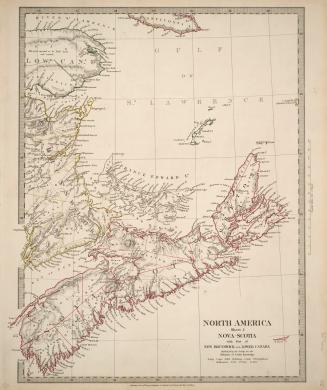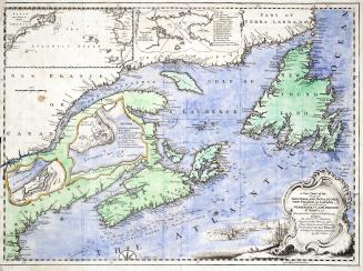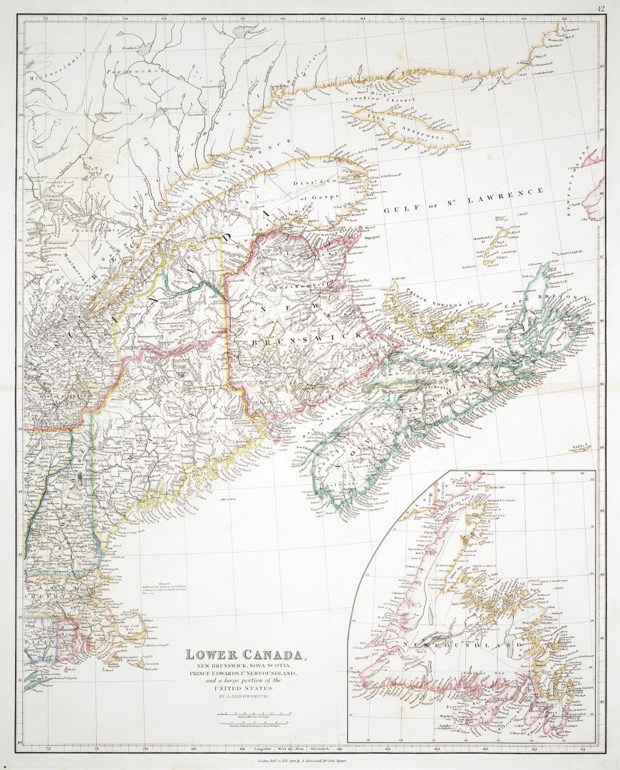

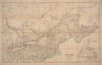
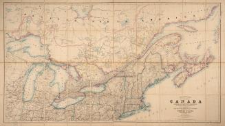
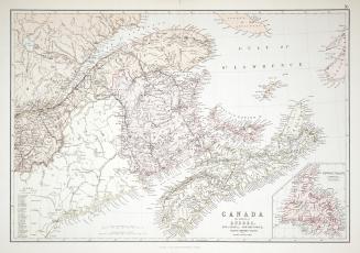
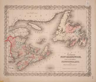
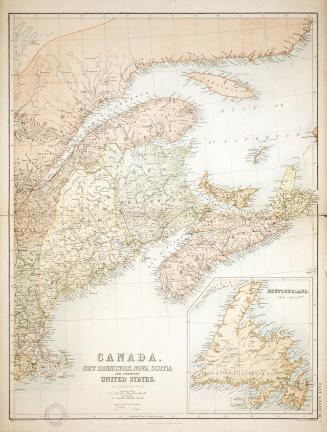
Lower Canada, New Brunswick, Nova Scotia, Prince Edward Island, Newfoundland and a large portion of the United States
Date1838
Names
Arrowsmith, John, 1790-1873
(cartographer)
J. Arrowsmith
(publisher)
FormatMap
Subject
GeographyProvince stateNew BrunswickOntarioQuébecNewfoundland and LabradorPrince Edward IslandNova Scotia
Dimensions65 cm x 55 cm (25 9/16 in. x 21 5/8 in.)
ScaleCanadian & French Post Leagues; 28.54 = 1 degree
ScaleEnglish miles 69.1 = 1 degree
Language
CollectionBaldwin Collection of Canadiana
Usage Rights
Public Domain
(Learn
More)
Object Number912-71-A69-1-MEDIUM
Dewey912.71 A69.1 (medium)
![Map of the United States of North America, Upper & Lower Canada, New Brunswick, Nova Scotia & British Columbia, Mexico, Cuba, Jamaica, St. Domingo [Dominican Republic and Haiti] and the Bahama Islands](/internal/media/dispatcher/2243570/thumbnail)

Approximately 1840