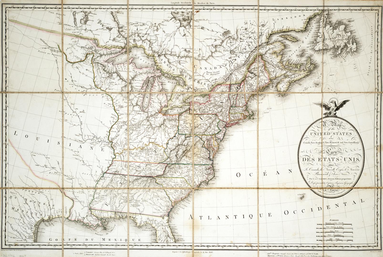

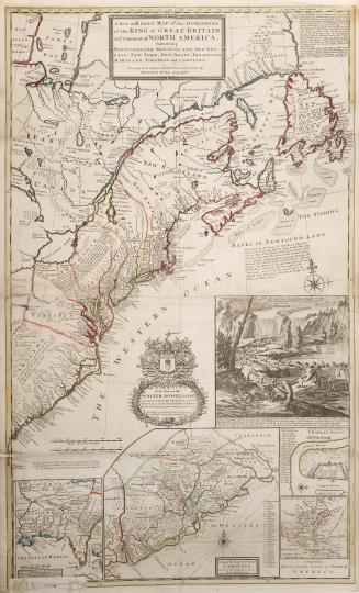
Map of the United States and Canada, New Scotland, New Brunswick and Newfoundland
Date1806
Names
FormatMap
Subject
Dimensions52 cm x 78 cm (20 1/2 in. x 30 11/16 in.)
CollectionBaldwin Collection of Canadiana
Usage Rights
Public Domain
(Learn More)
Object Number912-7-T12-MEDIUM
Dewey912.7 T12 (medium)
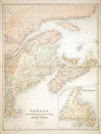
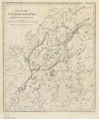
Approximately 1840