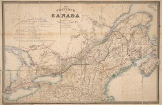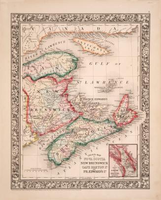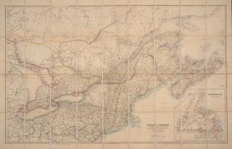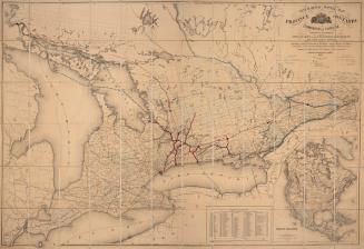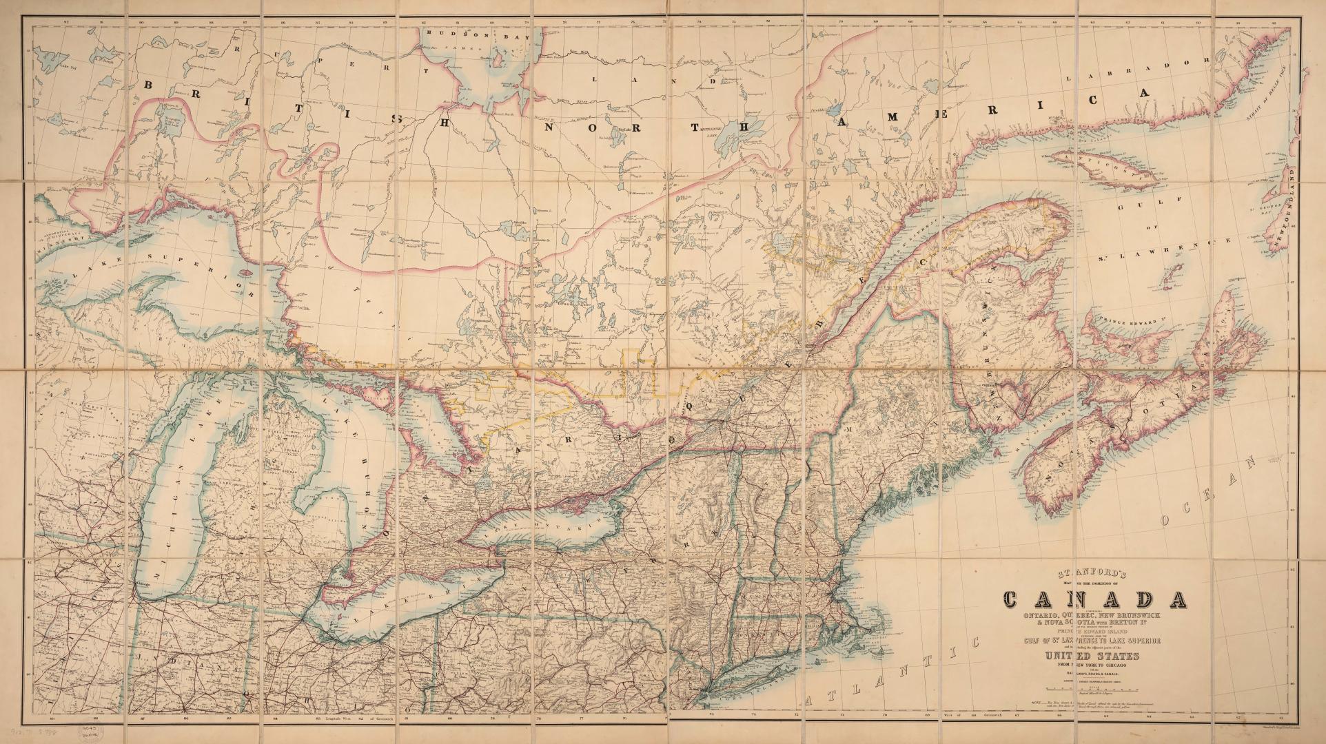

Stanford's map of the Dominion of Canada, comprising Ontario, Québec, New Brunswick & Nova Scotia with Breton Id. also the separate province of Prince Edward Island extending from the Gulf of St. Lawrence to Lake Superior and including the adjacent parts of the United States from New York to Chicago with the railways, roads & canals
DateApproximately 1870
Names
Stanford, Edward, 1827-1904
(cartographer)
Stanford, Edward, 1827-1904
(publisher)
FormatMap
NotesStanford's Geographical Establishment, London
Subject
Dimensions85 cm x 152 cm (33 7/16 in. x 59 13/16 in.)
Scale100 miles = 3.5 inches
Language
CollectionBaldwin Collection of Canadiana
Usage Rights
Public Domain
(Learn
More)
Object Number912-71-S738-FRAGILE-FOLD
Dewey912.71 S738 (Fragile Fold map cabinet)