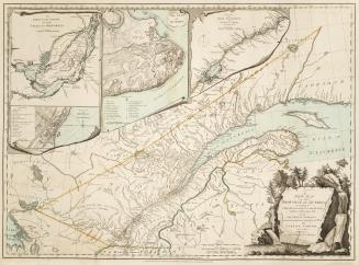
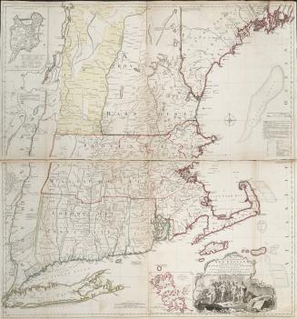
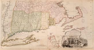
A new and correct map of the province of Québec with the adjacent states and provinces, from the French surveys, connected with those made by Captain Carver, and other officers, in His Majesty's service
Date1794
Names
Carver, Jonathan, 1710-1780
(cartographer)
Laurie & Whittle
(contributor)
Robert Laurie and James Whittle
(publisher)
FormatMap
NotesA new and correct map of the province of Québec with the adjacent states and provinces, from the French surveys, connected with those made by Captain Carver, and other officers, in His Majesty's service
Subject
Dimensions53 cm x 70.5 cm (20 7/8 in. x 27 3/4 in.)
Language
CollectionBaldwin Collection of Canadiana
Usage Rights
Public Domain
(Learn More)
Object Number912-714-C135-12-MEDIUM
Dewey912.714 C135.12 (medium)