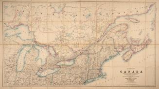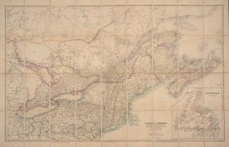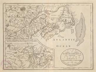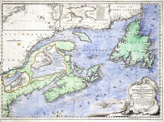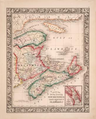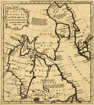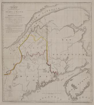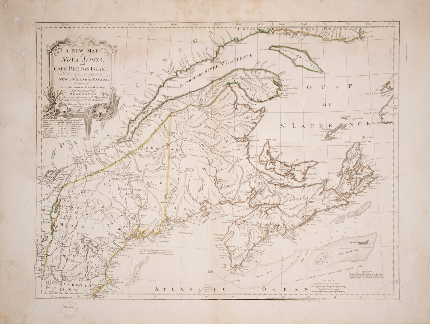

A new map of Nova Scotia, Cape Britain, with the adjacent parts of new England and Canada
Date1755
Names
Jefferys, Thomas, -1771
(cartographer)
Jefferys, Thomas, -1771
(engraver)
R. Sayer and J. Bennett (Firm)
(publisher)
R. Sayer and J. Bennett (Firm)
(printer)
R. Sayer and J. Bennett (Firm)
(bookseller)
FormatMap
Subject
Pages24 pages
Dimensions51.5 cm x 68.5 cm (20 1/4 in. x 26 15/16 in.)
Language
CollectionBaldwin Collection of Canadiana
Usage Rights
Public Domain
(Learn
More)
Object Number912-716-J24-SMALL
Dewey912.716 J24 (medium)