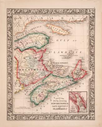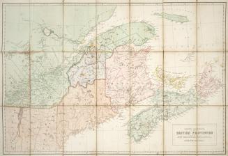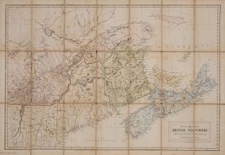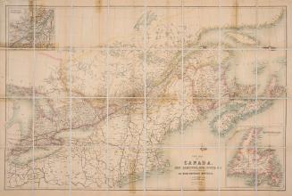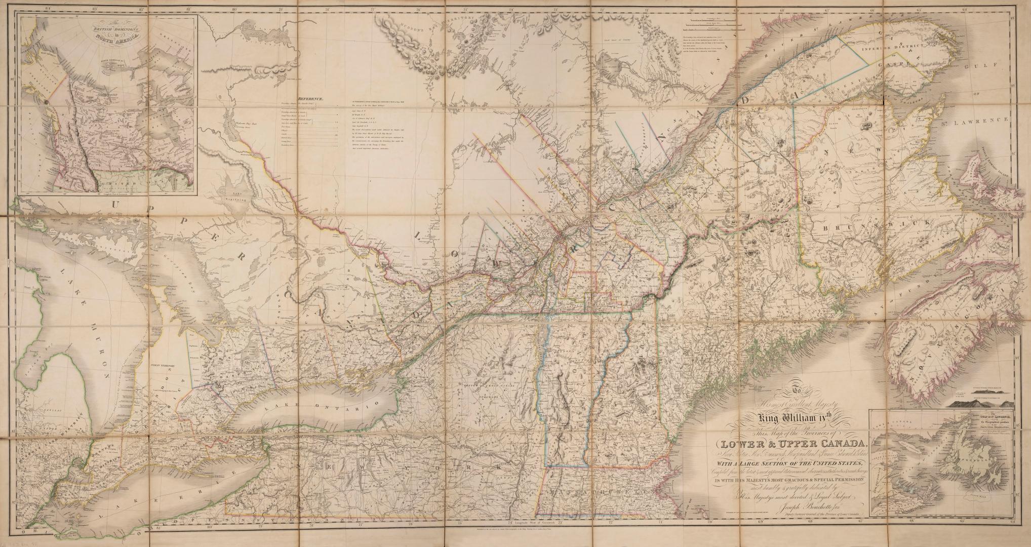

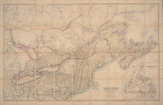
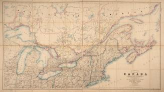
To his most excellent majesty King William IVth this map of the Provinces of Lower and Upper Canada, Nova Scotia, New Brunswick, Newfoundland & Prince Edward Island with a large section of the United States
Date1831
Names
Bouchette, Joseph, 1774-1841
(cartographer)
J & C Walker
(engraver)
Wyld, James, 1812-1887
(publisher)
Bouchette, Joseph, 1774-1841
(surveyor)
FormatMap
NotesMap insets of the Gulf of St. Lawrence shewing the geographical position of the principal headlands and British Dominions in North America
Subject
GeographyProvince stateQuébecOntarioPrince Edward IslandNewfoundland and LabradorNova ScotiaNew Brunswick
Dimensions100 cm x 190 cm (39 3/8 in. x 74 13/16 in.)
Scale1: 887,040
Language
CollectionBaldwin Collection of Canadiana
Usage Rights
Public Domain
(Learn
More)
Object Number912-71-B59-FRAGILE-FOLD
Dewey912.71 B59 (Fragile Fold map cabinet)

![Map of the United States of North America, Upper & Lower Canada, New Brunswick, Nova Scotia & British Columbia, Mexico, Cuba, Jamaica, St. Domingo [Dominican Republic and Haiti] and the Bahama Islands](/internal/media/dispatcher/2243570/thumbnail)