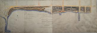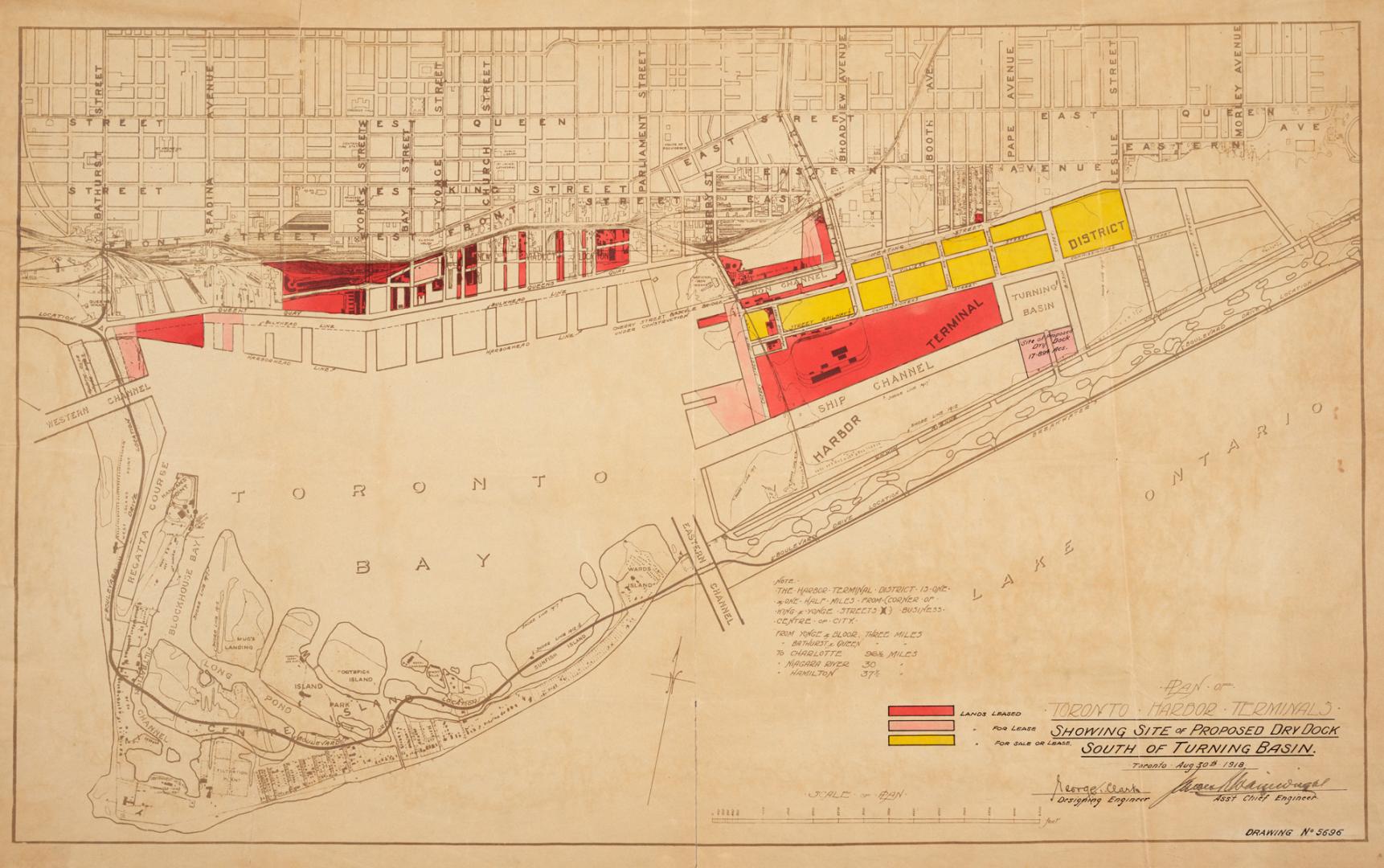

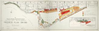
Plan of Toronto Harbor Terminals showing site of proposed dry dock south of turning basin
Date1918
Names
Toronto Harbour Commissioners
(author)
Format
Medium
Dimensions43.5 cm x 70 cm (17 1/8 in. x 27 9/16 in.)
Language
CollectionBaldwin Collection of Canadiana
Usage Rights
Public Domain
(Learn More)
Call Number / Accession NumberT-1918-3-SMALL
Country:Canada
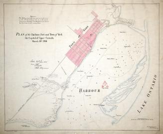
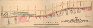
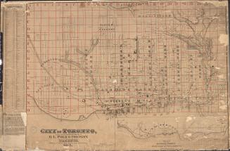
City, town or township:Toronto
Neighbourhood:Port Lands
Province or state:Ontario
Between 1914 and 1918