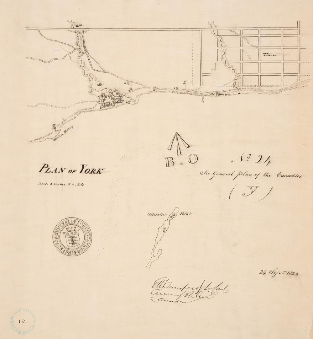

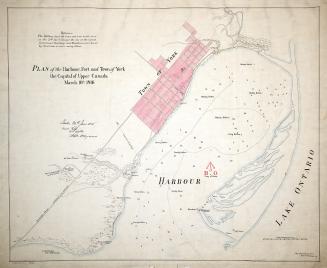
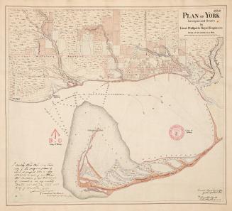
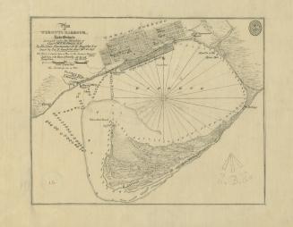
(1823) Plan of York
DateApproximately 1908
Names
Durnford, E. W. (Elias Walker), 1774-1850
(contributor)
FormatMap
NotesApproximately 1908 reproduction of original 1823 map from the Archives Department, Ottawa (current day Library and Archives Canada)
Dimensions49 cm x 49 cm (19 5/16 in. x 19 5/16 in.)
Scale6 inches = 1 mile
Language
ProvenanceGift of John Ross Robertson (JRR collection #12)
CollectionBaldwin Collection of Canadiana
Usage Rights
Public Domain
(Learn More)
Call Number / Accession NumberT-1823-2-SMALL
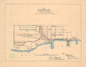
Approximately 1908
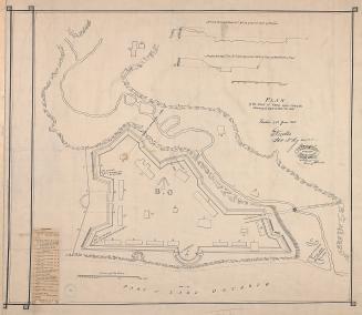
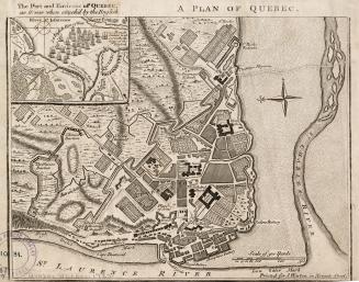
1759
Approximately 1908
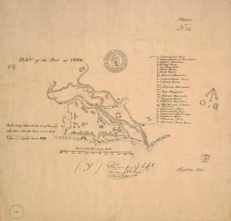
![No. 1 plan of commandant's quarters [1823]](/internal/media/dispatcher/2109868/thumbnail)