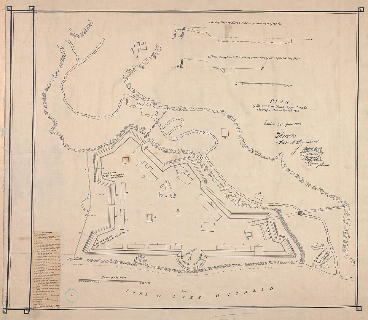

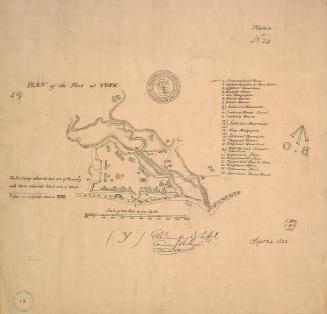
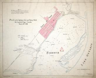
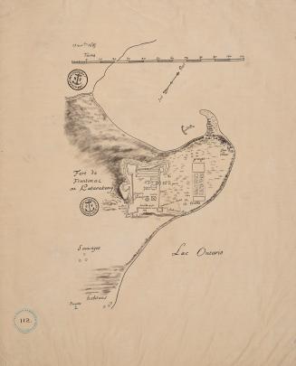
(1816) Plan of the fort at York Upper Canada shewing its state in March 1816
DateApproximately 1908
Names
Nicolls, Gustavus
(cartographer)
Royal Engineers Office (Quebec)
(publisher)
Robertson, J. Ross (John Ross), 1841-1918
(contributor)
FormatMap
NotesApproximately 1908 reproduction of original 1816 map from the Archives Department, Ottawa (current day Library and Archives Canada)
Dimensions72.5 cm x 79 cm (28 9/16 in. x 31 1/8 in.)
Scale1 inch = 60 feet
Language
ProvenanceGift of John Ross Robertson (JRR collection #8)
CollectionBaldwin Collection of Canadiana
Usage Rights
Public Domain
(Learn More)
Object NumberT-1816-2-LARGE
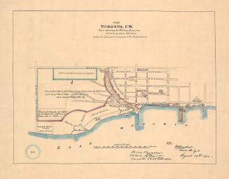
Approximately 1908
Approximately 1908
Approximately 1908
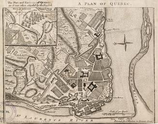
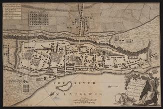
1759
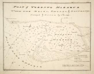
Approximately 1910