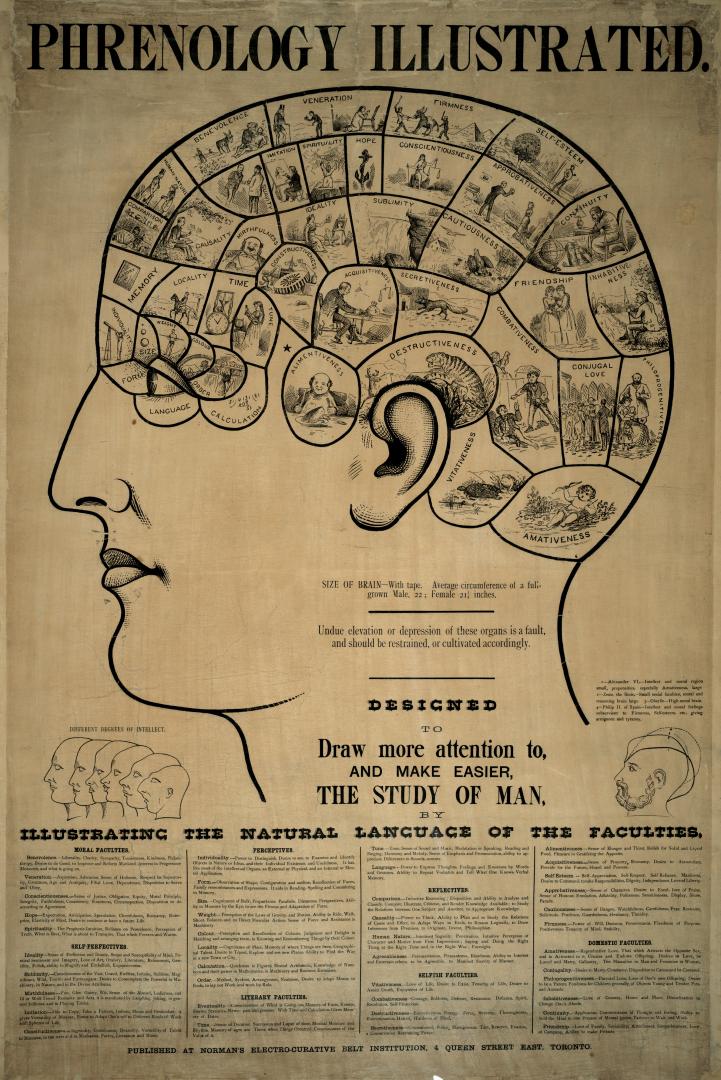
Skip to main contentPhrenology illustrated
Date1888?
Object NumberPHRENOLOGY
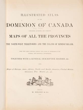
Illustrated atlas of the Dominion of Canada, containing authentic and complete maps of all the provinces, the North-West Territories and the island of Newfoundland, from the latest official surveys and plans, by permission of the general and provincial governments, together with a general descriptive history, &c., also maps of Europe, Asia, Africa, North and South America, United States, Oceania, the World, &c., &c. 1880
Illustrated atlas of the Dominion of Canada, containing authentic and complete maps of all the provinces, the North-west territories and the island of Newfoundland, from the latest official surveys and plans, by permission of the general and provincial governments, together with a general descriptive history, &c., also maps of Europe, Asia, Africa, North and South America, United States, Oceanica, The World, &c., &c. 1880


![1892 illustrated catalogue and price list [of] Favorite stoves and ranges](/internal/media/filedispatcher/742930/thumbnail)