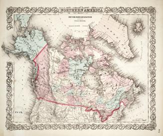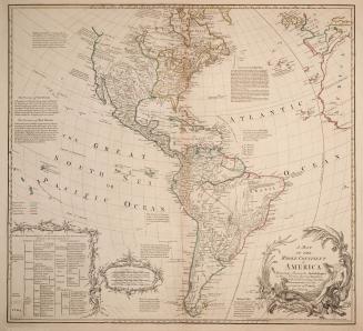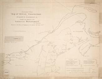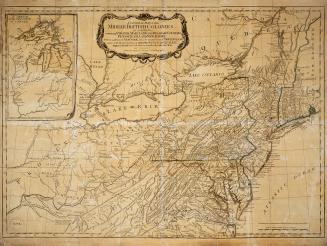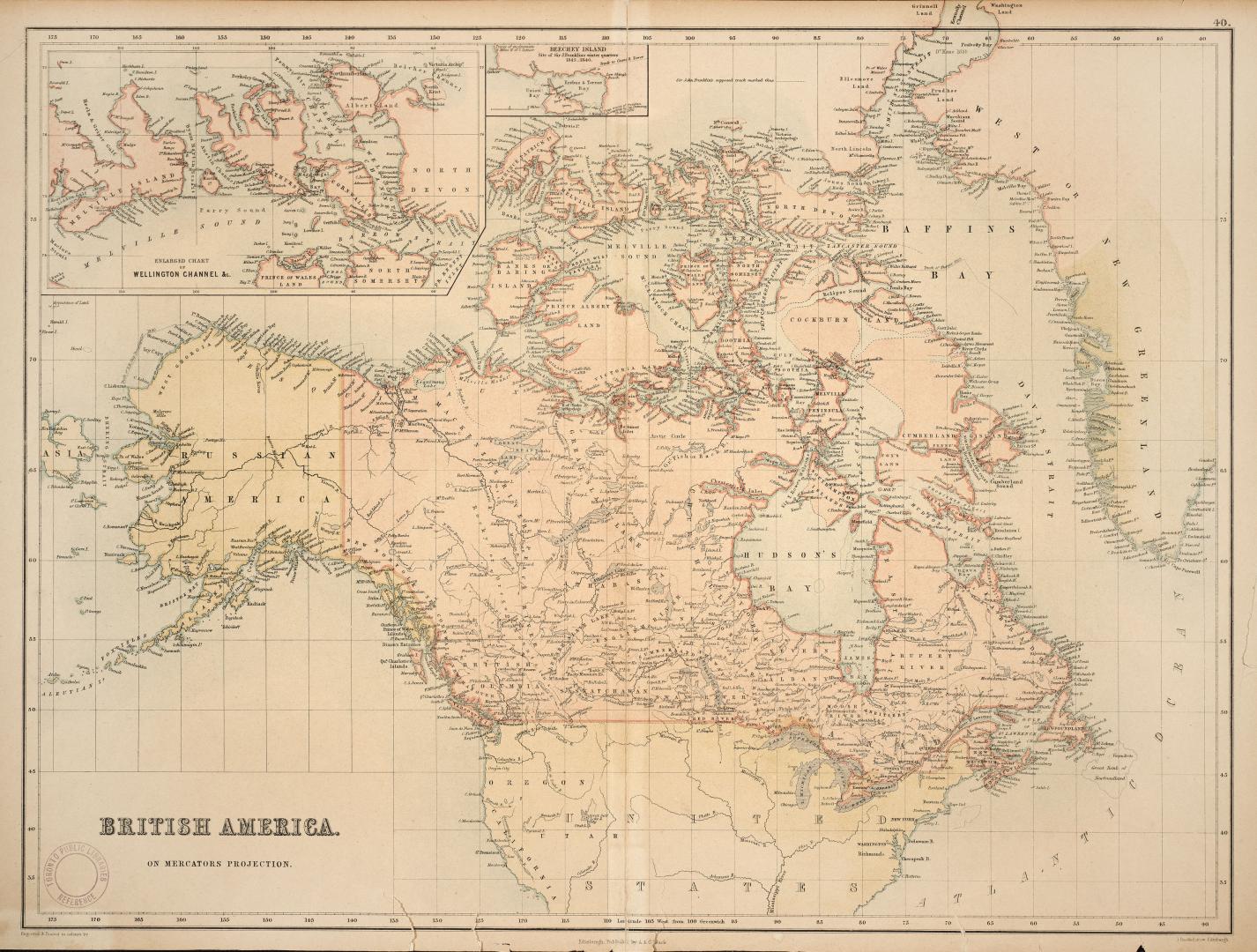

British America on Mercator's projecton
DateApproximately 1860
Names
A. & C. Black
(publisher)
Bartholomew, John, 1831-1893
(cartographer)
FormatMap
NotesInsets of Wellington Channel and Beechey Island
Subject
Medium
Dimensions44 cm x 62 cm (17 5/16 in. x 24 7/16 in.)
Language
CollectionBaldwin Collection of Canadiana
Usage Rights
Public Domain
(Learn
More)
Object Number912-71-B13-2-SMALL
Dewey912.71 B13.2 small

Approximately 1909