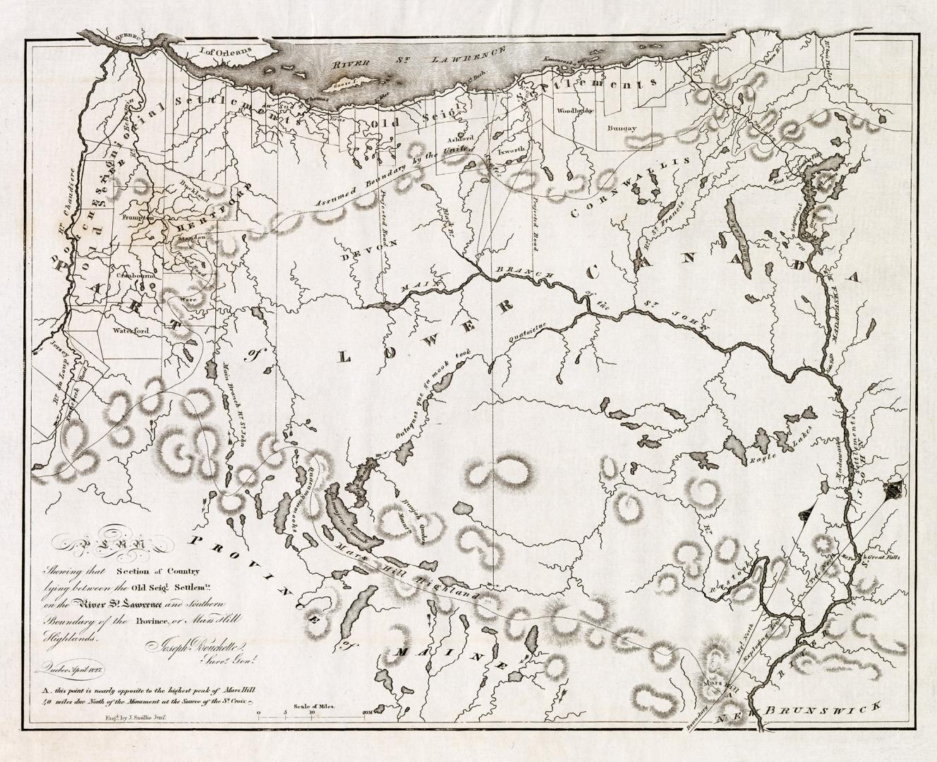

Plan showing that section of country lying between the old seig settlements on the river St. Lawrence and southern boundary of the province or Mars Hill Highlands
Date1827
Names
Bouchette, Joseph, 1774-1841
(surveyor)
Smillie, James, 1807-1885
(engraver)
Lower Canada. Legislature. House of Assembly
(publisher)
Bouchette, Joseph, 1774-1841
(cartographer)
FormatMap
NotesA scarce map of New Brunswick and Quebec from the Journals of the House of Assembly of Lower Canada, 1827
Subject
Dimensions27.5 cm x 38.5 cm (10 13/16 in. x 15 3/16 in.)
Language
CollectionBaldwin Collection of Canadiana
Usage Rights
Public Domain
(Learn
More)
Object Number912-714-B594-SMALL
Dewey912.714 B594 SMALL
![(1788) Plan of Torento [sic] Harbour with the proposed town and part of the settlement, Québec 6th Dec. 1788, Gothermann, Capn. Commandg. Rl. Engrs. Colonial Correspondence Canada (Québec) 1790 no. 47 Plan B](/internal/media/dispatcher/2237612/thumbnail)