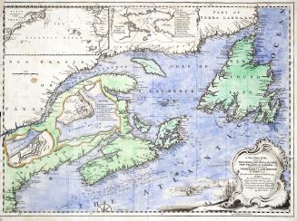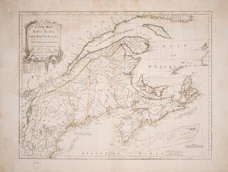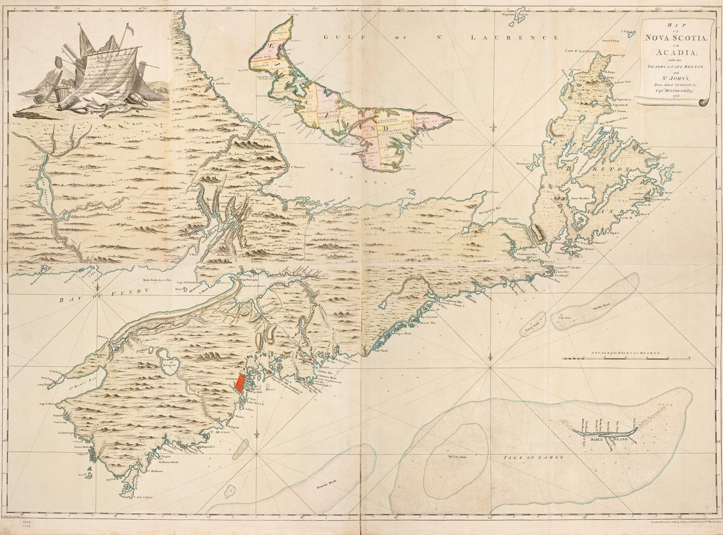

Map of Nova Scotia or Acadia; with the islands of Cape Breton and St. John's
Date1768
Names
Montresor, John, 1736-1799
(surveyor)
FormatMap
NotesSubject
Dimensions107 cm x 142 cm (42 1/8 in. x 55 7/8 in.)
Language
CollectionBaldwin Collection of Canadiana
Usage Rights
Public Domain
(Learn More)
Object Number912-716-M58-MEDIUM
Dewey912.716 M58 (medium)