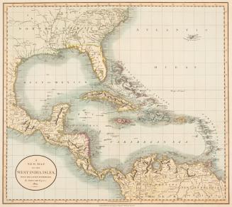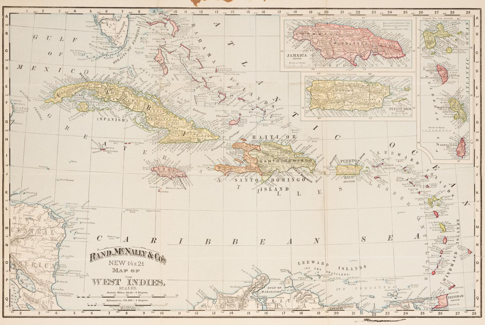

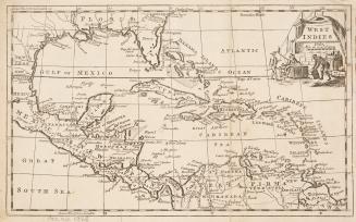
Rand, McNally & Co.'s new 14x21 map of the West Indies
Date1892
Names
Rand McNally and Company
(printer)
Rand McNally and Company
(publisher)
Format
Includes inset maps of Jamaica, Puerto Rico and Guadeloupe, Dominica, Martinique and St. Lucia.
Subject
Dimensions36 cm x 50 cm (14 3/16 in. x 19 11/16 in.)
Language
CollectionBaldwin Collection of Canadiana
Usage Rights
Public Domain
(Learn More)
Call Number / Accession Number912-729-R12-SMALL
Geograhical feature:Atlantic Ocean
Region or district:West Indies
Approximately 1915
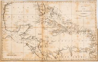
1767