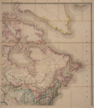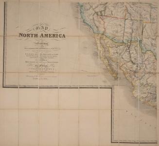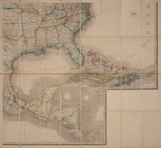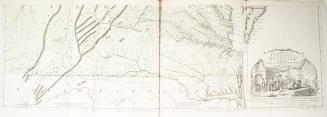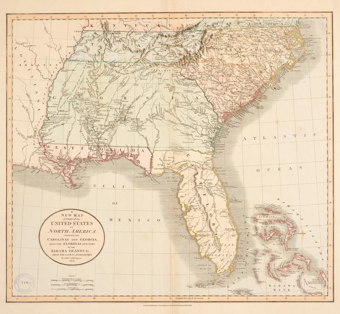

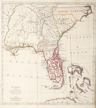
A new map of part of the United States of North America containing the Carolinas and Georgia, also the Floridas and part of the Bahama Islands &c. from the latest authorities
Date1806
Names
J. Cary
(publisher)
Cary, John, approximately 1754-1835
(cartographer)
Cary, John, approximately 1754-1835
(engraver)
FormatMap
Subject
Dimensions55.5 cm x 67 cm (21 7/8 in. x 26 3/8 in.)
ScaleBar scale (German Miles)
ScaleBar scale (Common French Leagues)
ScaleBar scale (British Statute Miles)
Language
CollectionBaldwin Collection of Canadiana
Usage Rights
Public Domain
(Learn
More)
Object Number912-73-C13-MEDIUM
Dewey912.7 C13 (medium)

Approximately 1768