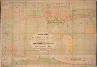
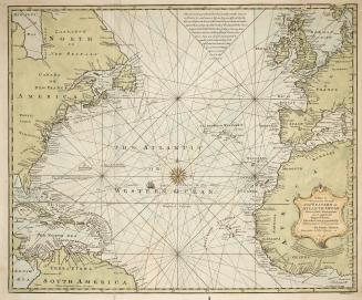
The Atlantic Ocean between Canada and northern Europe
Date1914
Names
Surveyor General's Office
(compiler)
Surveyor General's Office
(cartographer)
Surveyor General's Office
(draftsman)
Surveyor General's Office
(printer)
FormatMap
NotesOttawa. Surveyor General's Office. Oblique cylindrical projection.
Subject
GeographyCountryIrelandWalesScotlandEnglandNetherlandsBelgiumFranceUnited KingdomUnited StatesCanada
Dimensions22.3 cm x 80 cm (8 3/4 in. x 31 1/2 in.)
Scale1: 8,755,200 or 120 Nautical Miles to one inch
Language
CollectionBaldwin Collection of Canadiana
Usage Rights
Public Domain
(Learn
More)
Object Number912-19631-A75
Dewey912.19631 A75 (Word/Arctic/Ocean maps drawer)

1863