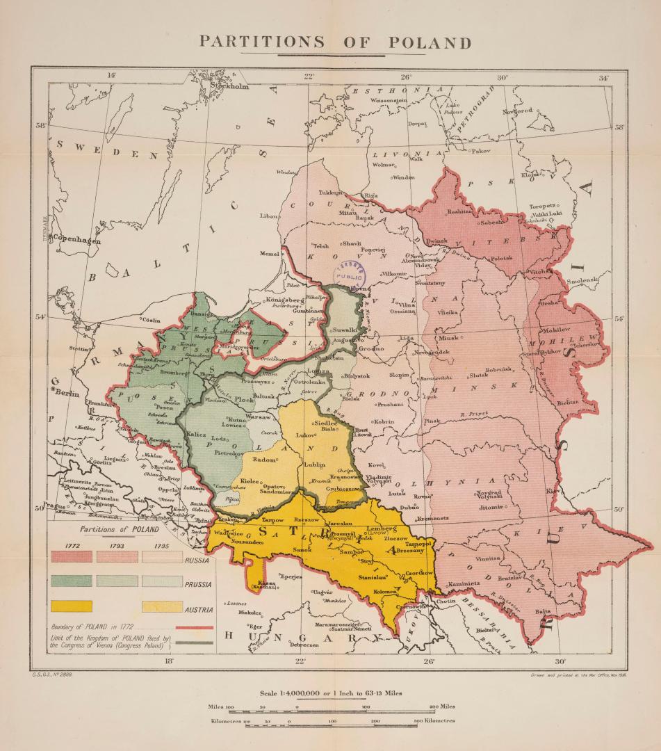

Partitions of Poland
Date1918
Names
War Office
(publisher)
Great Britain. Foreign Office
(author)
FormatMap
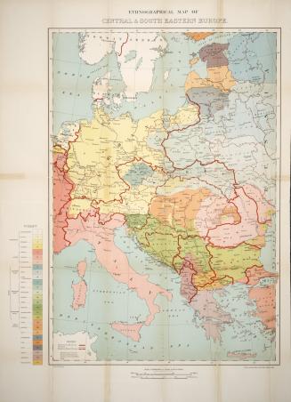
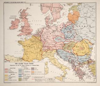
NotesTaken from: Great Britain, Foreign Office, Peace Handbooks (909 G67 v.27). Shows boundary of Poland in 1772, partitions to Russia, Prussia & Austria from 1772-1795 and limit fixed by Congress of Vienna.
Dimensions34 cm x 34 cm (13 3/8 in. x 13 3/8 in.)
Scale1: 400 000
Language
CollectionBaldwin Collection of Canadiana
Usage Rights
Public Domain
(Learn
More)
Object Number912-438-P13
Dewey912.438 P13 (WW1 map drawer)
Approximately 1840
Approximately 1918
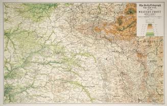
Approximately 1916