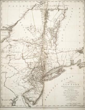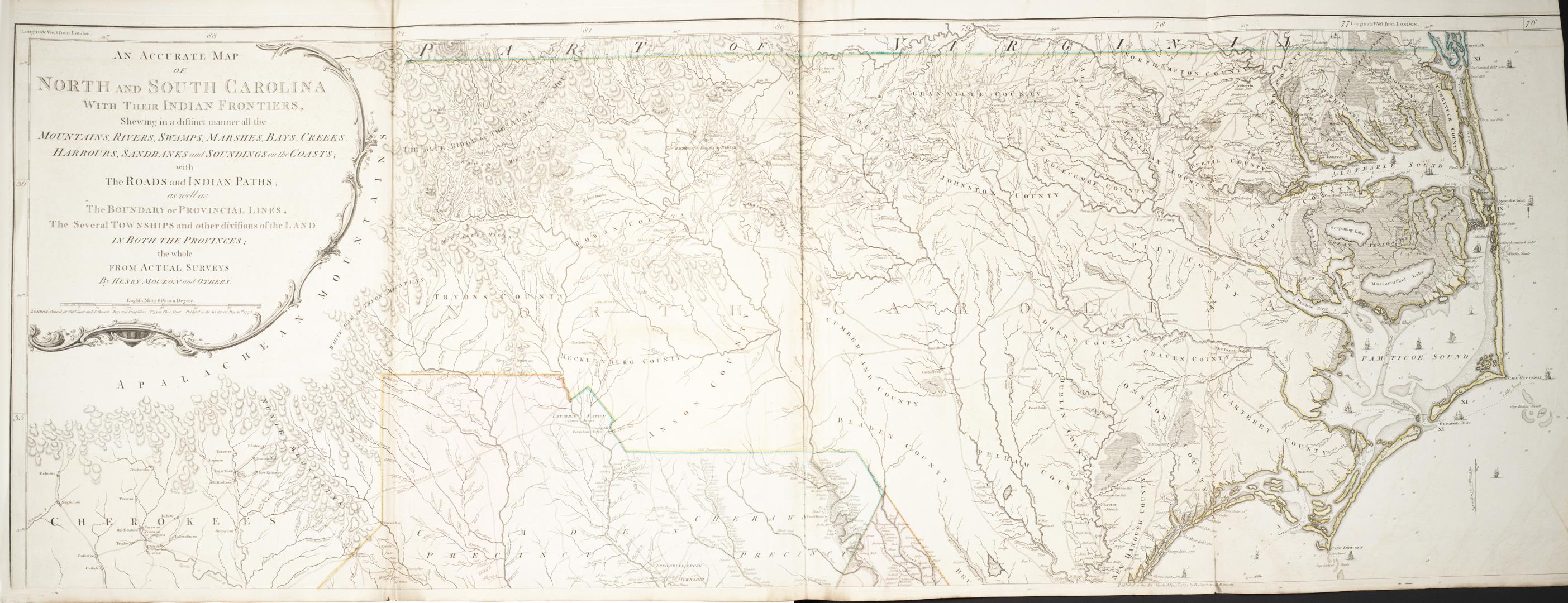

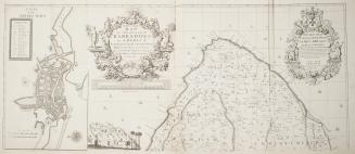
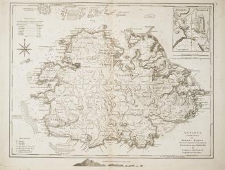
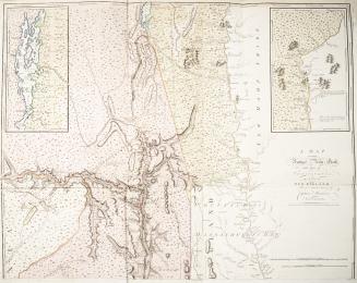
An accurate map of North and South Carolina with their Indian frontiers, shewing in a distinct manner all the mountains, rivers, swamps, marshes, bays(...)
Date1775
Names
Mouzon, Henry, 1741-1807
(author)
Robert Sayer and John Bennett (Firm)
(publisher)
FormatMap
NotesAn accurate map of North and South Carolina with their Indian frontiers, shewing in a distinct manner all the mountains, rivers, swamps, marshes, bays, creeks, harbours, sandbanks and soundings on the coasts with the roads and Indian paths, as well as the boundary or provincial lines, the several townships and other divisions of the Land in both the provinces; the whole from actual surveys by Henry Mouzon and others
Medium
Dimensions1"=8 miles : 50 x 140 cm on sheet 54.5 x 142 cm each
Language
ProvenanceGift of James Bain family, 2008
CollectionBaldwin Collection of Canadiana
Usage Rights
Public Domain
(Learn More)
Object Number912.756M138
Dewey912.756 M138

Approximately 1760