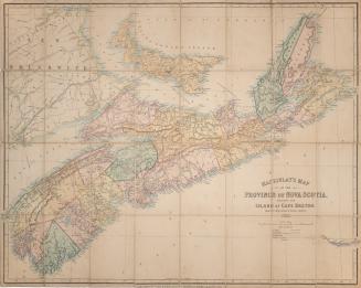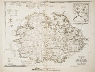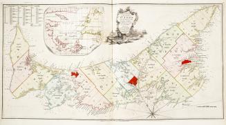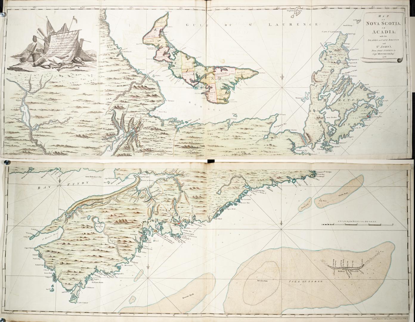

Map of Nova Scotia or Acadia, with the Islands of Cape Breton and St
Date1768
Names
FormatMap
Medium
Dimensionsca 1"=6 miles : 54 X 140 cm each sheet
Language
ProvenanceGift of James Bain family, 2008
CollectionBaldwin Collection of Canadiana
Usage Rights
Public Domain
(Learn More)
Object Number912-7163M58
Dewey912.7163 M58