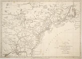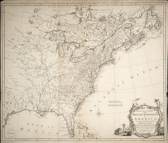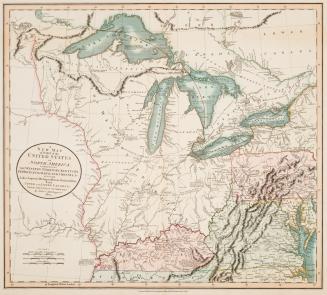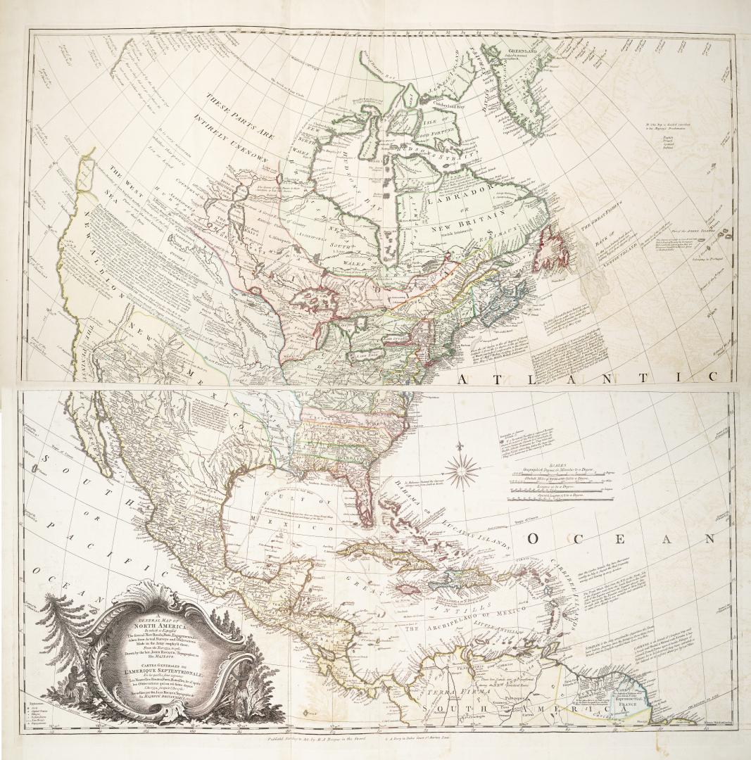

A general map of North America, In which is expressed The several new roads, forts, engagements &c.
DateApproximately 1761
Names
M.A. Rocque & A. Dury
(publisher)
Rocque, John, -1762
(author)
Format
A general map of North America; In which is expressed The several new roads, forts, engagements &c. taken from actual surveys and observations made in the army emply'd there, from the year 1754 to 1761: Drawn by the late John Rocque, Topographer to His Majesty/Carte Generales de L'Amerique Septentrionale; en les quelles sont exprimis les nouvelles routes, forts, batailles, &c. d'apres l'an 1754 jusqu'a l'an 1761: Recuellies par feu Jean Rocque, Topographe de Sa Majeste Britannique, &c.
Subject
Medium
DimensionsLeaf size (map size): 108 cm x 90 cm (42 1/2 in. x 35 7/16 in.)
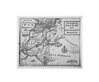
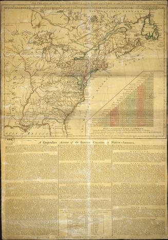
Leaf size (on two sheets): 54 cm x 94 cm (21 1/4 in. x 37 in.)
Leaf size (on two sheets): 54 cm x 94 cm (21 1/4 in. x 37 in.)
Scale1 inch = 66 miles
Language
ProvenanceGift of James Bain family, 2008
CollectionBaldwin Collection of Canadiana
Usage Rights
Public Domain
(Learn More)
Call Number / Accession Number912-7R57
Dewey Number912.7 R57
Country:United States
Geograhical feature:North America
Region or district:West Indies