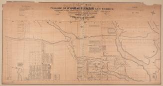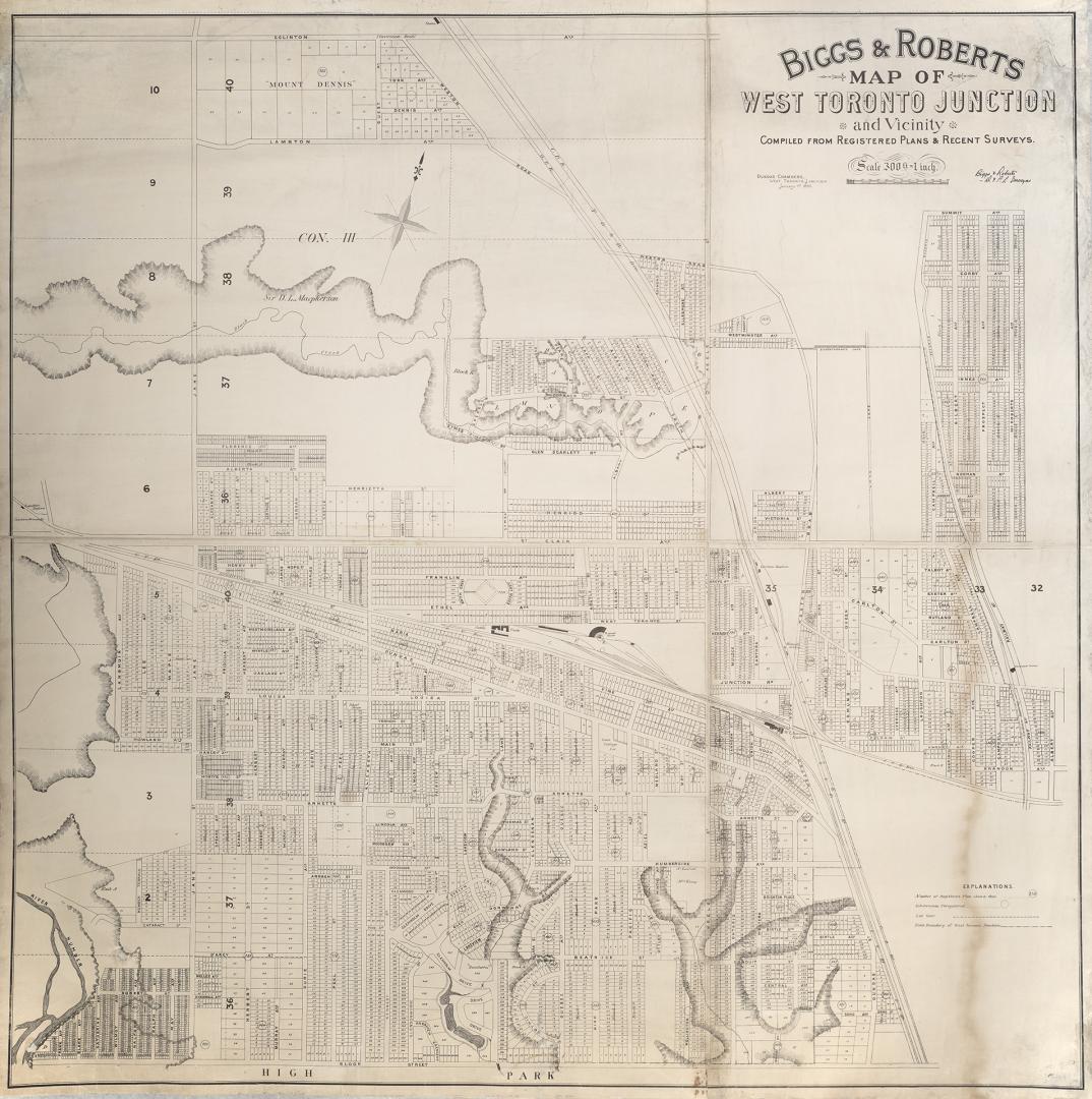

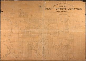
Biggs & Roberts map of West Toronto Junction and vicinity compiled from registered plans & recent surveys
Date1890-01-01
Names
Biggs, J. M. Mouat, 1864-
(author)
Dundas Chambers
(publisher)
Roberts, Vaughan Maurice, 1864-1942
(contributor)
FormatMap
Subject
Medium
Dimensions300 feet = 1 inch : 120 x 124 cm.
Language
ProvenanceTransferred from Annette Street Branch.
CollectionBaldwin Collection of Canadiana
Usage Rights
Public Domain
(Learn More)
Object NumberT1890-3-4MLRG
![[Key map for 1893 atlas] Atlas of the city of Toronto and vicinity from special survey founded on registered plans and showing all building and lot numbers.](/internal/media/dispatcher/2001255/thumbnail)
![[Plate 30] Toronto Island Map: Atlas of the city of Toronto and vicinity from special survey founded on registered plans and showing all building and lot numbers.](/internal/media/dispatcher/1947573/thumbnail)
![[Plate 50. Key map for 1893 atlas] Atlas of the city of Toronto and vicinity from special survey founded on registered plans and showing all building and lot numbers.](/internal/media/dispatcher/1947661/thumbnail)
![[Plate 49. Key map for 1893 atlas] Atlas of the city of Toronto and vicinity from special survey founded on registered plans and showing all building and lot numbers.](/internal/media/dispatcher/2063019/thumbnail)
![[Plate 48. Key map for 1893 atlas] Atlas of the city of Toronto and vicinity from special survey founded on registered plans and showing all building and lot numbers.](/internal/media/dispatcher/2116661/thumbnail)