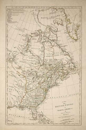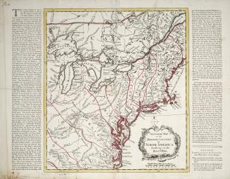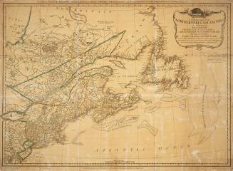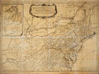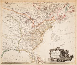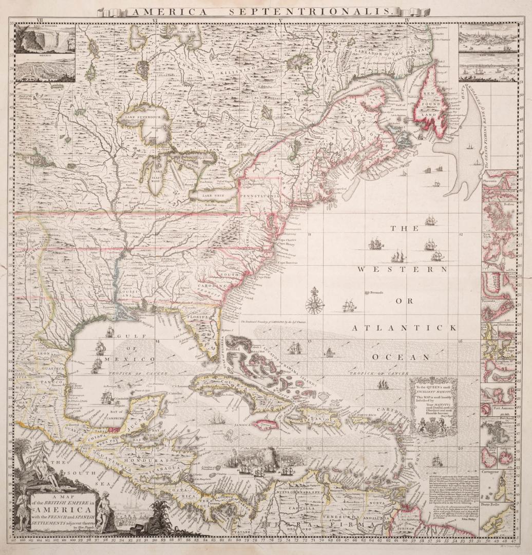

A map of the British Empire in America with the French and Spanish settlements adjacent thereto
DateApproximately 1733
Names
Alternate Title
America Septentrionalis
Format
Medium
Dimensions34 cm x 51 cm (13 3/8 in. x 20 1/16 in.)
Language
CollectionBaldwin Collection of Canadiana
Usage Rights
Public Domain
(Learn More)
Call Number / Accession Number912-7-P58-SMALL
Dewey Number912.7 P58 small
Country:United States
Region or district:North America