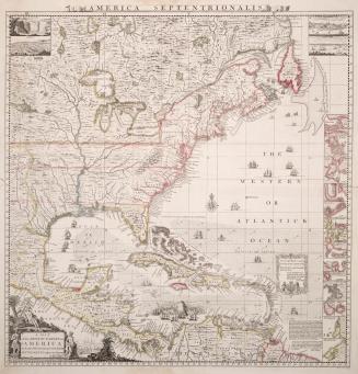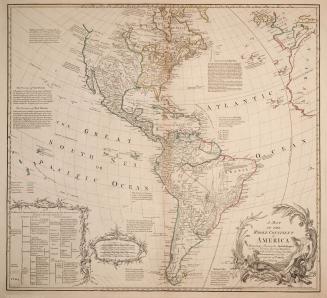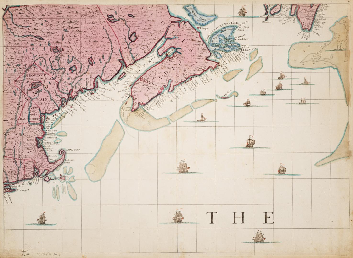

A map of the British Empire in America with the French and Spanish settlements adjacent thereto (sheet 7)
Date1733
Names
Popple, Henry
(cartographer)
Willm. Henry Toms & R.W. Seal
(engraver)
Willm. Henry Toms & R.W. Seal
(publisher)
FormatMap
Subject
Medium
Dimensions52 cm x 71.2 cm (20 1/2 in. x 28 1/16 in.)
Language
CollectionBaldwin Collection of Canadiana
Usage Rights
Public Domain
(Learn More)
Object Number912-71-P58-PART-7-SMALL
Dewey912.71 P58 (part 7) SMALL