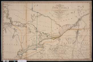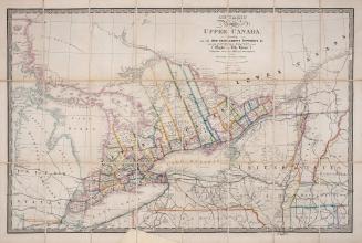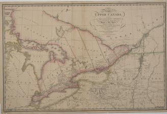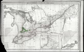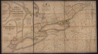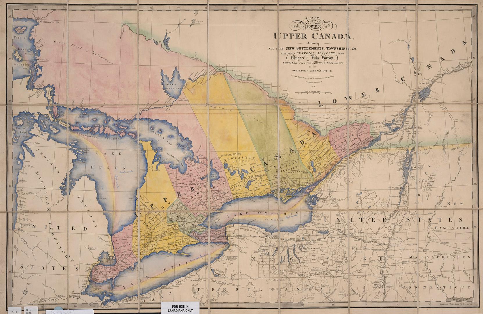

A map of the province of Upper Canada describing all the new settlements and townships &c. with the countries adjacent from Quebec to Lake Huron
Date1838
Names
Wyld, James, 1790-1836
(author)
James Wyld
(publisher)
FormatMap
Notes| Complied from original documents including Sir David William Smith's original map of Upper Canada first published in 1800 which saw many later editions. The library has the original 1800 map and the 1813 and 1818 editions. The library also has Wyld's circa 1872 and 1846 maps of Upper Canada: |
Subject
Medium
Dimensions51 cm x 91.2 cm (20 1/16 in. x 35 7/8 in.)
ScaleBar scale (English miles)
Language
CollectionBaldwin Collection of Canadiana
Usage Rights
Public Domain
(Learn More)
Object Number912-713-W92-2
Dewey912.713 W92.2