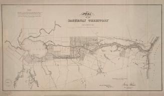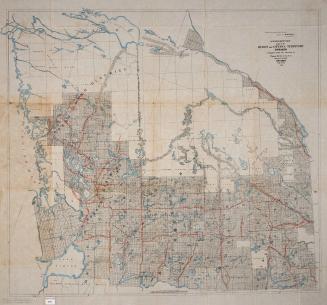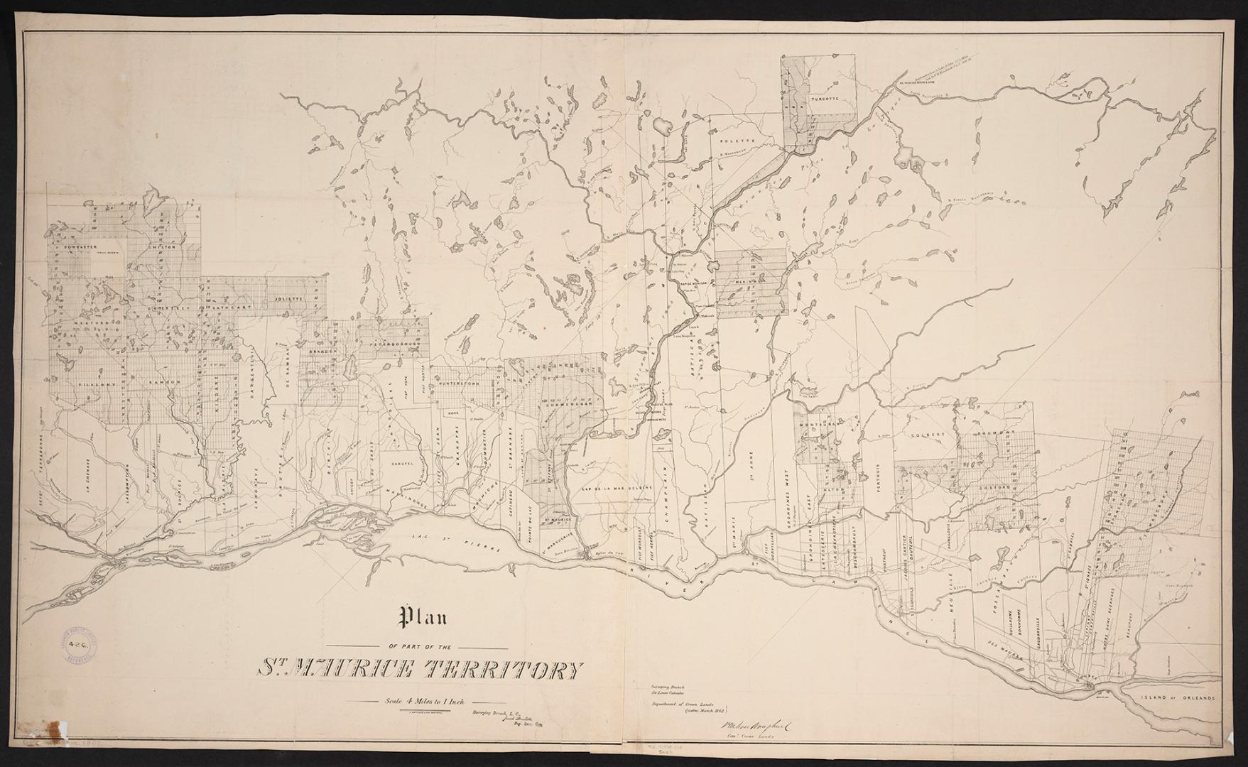

Plan of part of the St. Maurice Territory
Date1862
Names
Crown lands department
(contributor)
Bouchette, Joseph, 1774-1841
(cartographer)
G. Matthews
(publisher)
Format
| Department of Crown Lands, Surveying Branch Lower Canada, Québec, March 1862, P. M.Vankoughnet, Commissioner of Crown Lands. 1 map on 2 sheets. |
Subject
Medium
Dimensions63 cm x 110 cm (24 13/16 in. x 43 5/16 in.)
Scale4 miles to 1 inch
Language
CollectionBaldwin Collection of Canadiana
Usage Rights
Public Domain
(Learn More)
Call Number / Accession Number912-71445-C12-SMALL
Dewey Number912.71445 C12 SMALL
Country:Canada
City, town or township:St. Maurice
Historical location:Lower Canada
Province or state:Québec