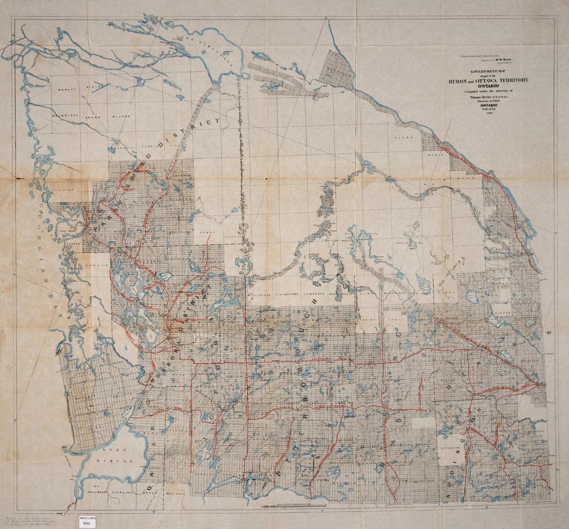

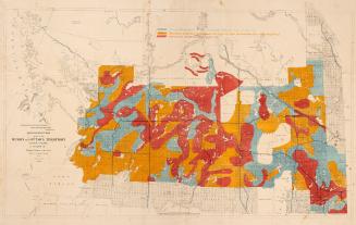
Government map of part of the Huron and Ottawa Territory Ontario
Date1872
Names
Crown lands department
(contributor)
Devine, Thomas (Draughtsman)
(cartographer)
C.M. Smith
(publisher)
Format
| Department of Crown Lands, commissioner Hon. R.W. Scott. Map accompanies the Report of the Commissioner of Crown Lands of the Province of Ontario for the year 1872 |
Medium
DimensionsLeaf size: 80 cm x 90 cm (31 1/2 in. x 35 7/16 in.)
ScaleBar scale (scale and statute miles to an inch)
Language
CollectionBaldwin Collection of Canadiana
Usage Rights
Public Domain
(Learn More)
Call Number / Accession Number912-713-O56
Dewey Number912.713 O56
Country:Canada
Province or state:Ontario
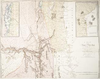
Approximately 1870