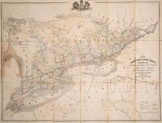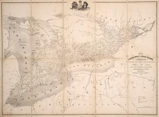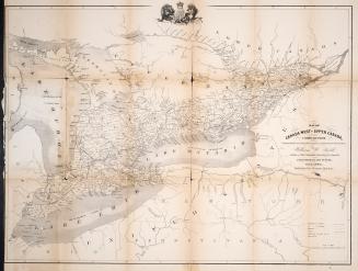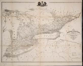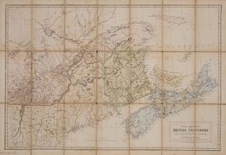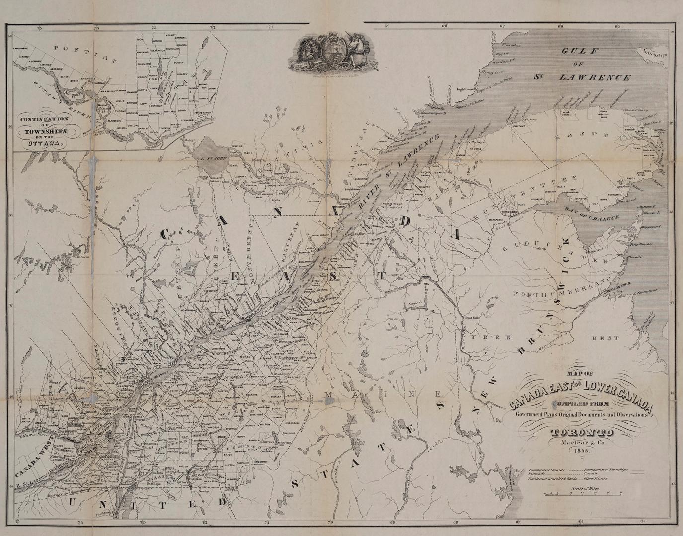

Map of Canada East or Lower Canada compiled from Government plans original documents and observations
Date1855
Names
Lillie, Adam, -1869
(author)
Maclear & Co.
(publisher)
FormatMap
Notes| Cartographer uncertain but is probably Adam Lillie. This map was originally published in Adam Lillie, Canada, Physical, Economic and Social (Toronto: Maclear, 1855) Includes inset, "Continuation of townships on the Ottawa." Outline map, showing boundaries of counties and townships, railroads, canals, and roads |
Subject
Medium
Dimensions47.5 cm x 58.5 cm (18 11/16 in. x 23 1/16 in.)
ScaleApproximately 1:1 490 000
ScaleBar scale (miles)
Language
CollectionBaldwin Collection of Canadiana
Usage Rights
Public Domain
(Learn More)
Object Number912-714-M11-SMALL
Dewey912.714 M11 SMALL