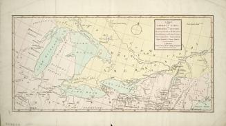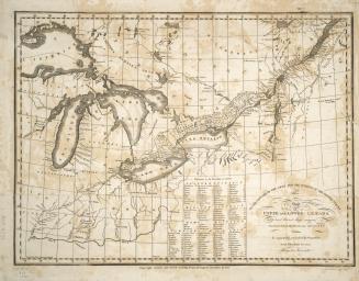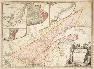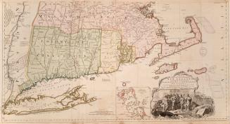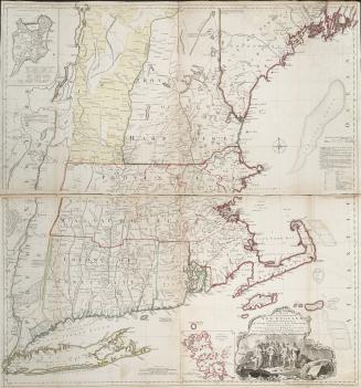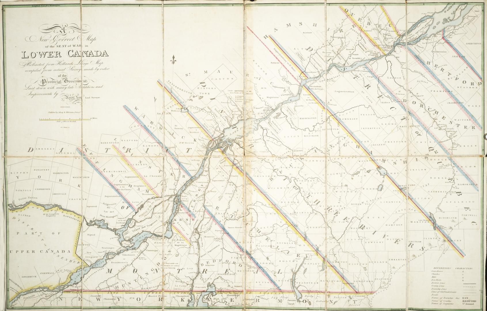

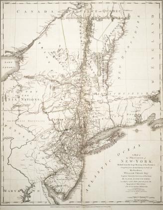
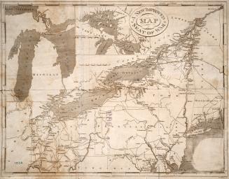
A new correct map of the seat of war in Lower Canada protracted from Holland's large map compiled from actual survey made to order of the Provincial G(...)
Date1814
Names
Alternate Title
A new correct map of the seat of war in Lower Canada
Format
A new correct map of the seat of war in Lower Canada protracted from Holland's large map compiled from actual survey made to order of the Provincial Government, Laid down with many late additions and improvements, by Amos Lay, Land Surveyor, H.S. Tanner, Sc. On cover Hollands Lower Canada [Sgd] Jonathan Thompson April 30, 1814; Map depicts Canada, north from the New York and Vermont border, includes county and township boundaries
Subject
Medium
Dimensions57 cm x 86 cm (22 7/16 in. x 33 7/8 in.)
Folded: 15 cm x 30 cm (5 7/8 in. x 11 13/16 in.)
Folded: 15 cm x 30 cm (5 7/8 in. x 11 13/16 in.)
Scale1 inch = 7 miles
Language
CollectionBaldwin Collection of Canadiana
Usage Rights
Public Domain
(Learn More)
Call Number / Accession Number912-714L138FRA
Dewey Number912.714 L138 FRA
Country:Canada
Historical location:Lower Canada
Province or state:Québec
Approximately 1814