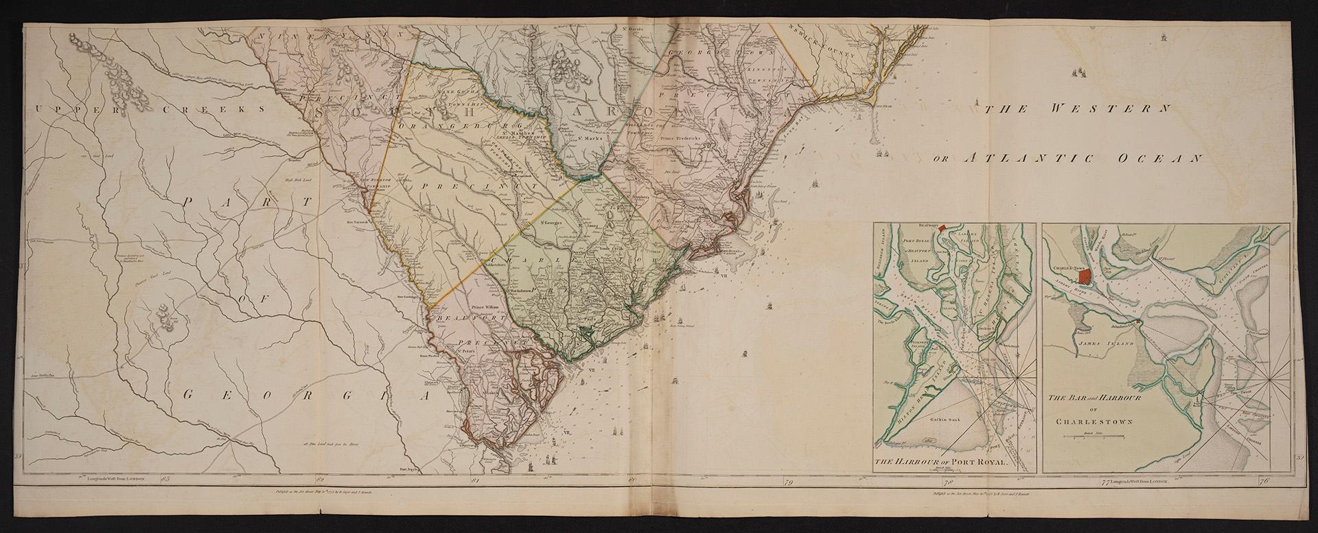

The Western or Atlantic Ocean
Date30 May 1775
Names
Sayer, Robert, 1725-1794
(contributor)
Robert Sayer and John Bennett (Firm)
(publisher)
Pownall, Thomas, 1722-1805
(contributor)
FormatMap
Notes| Inset maps of the Harbour of Port Royal and the Bar and Harbour of Charlestown |
Medium
Dimensions54.5 cm x 140 cm (21 7/16 in. x 55 1/8 in.)
ScaleBar scale (British miles)
Language
ProvenanceGift of James Bain family, 2008
CollectionBaldwin Collection of Canadiana
Usage Rights
Public Domain
(Learn More)
Object Number912-19631-S138-BAIN
Dewey912.19631 S138 (Bain donation maps drawer)
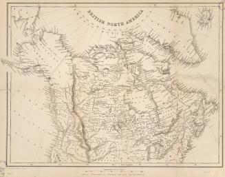
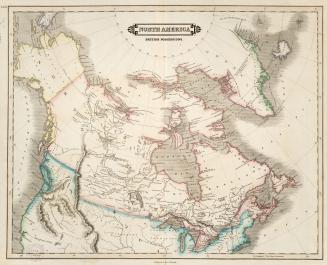
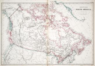
Approximately 1850