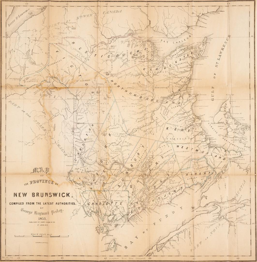

Map of the province of New Brunswick compiled from the latest authorities
Date1853
Names
Perley, George Hayward
(compiler)
J.H. Bufford & Co's Lith, Boston
(lithographer)
Henry Chubb & co.
(publisher)
FormatMap
Subject
Medium
Pages528 pages
Dimensions53 cm x 52 cm (20 7/8 in. x 20 1/2 in.)
Language
CollectionBaldwin Collection of Canadiana
Usage Rights
Public Domain
(Learn More)
Object Number912-715-P26-SMALL
Dewey912.715 P26 SMALL