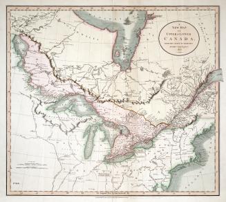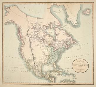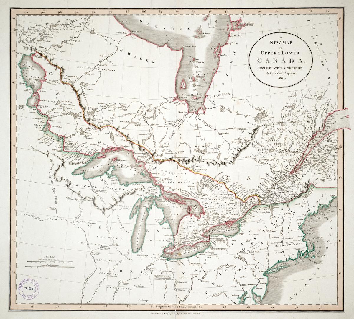

A new map of Upper & Lower Canada from the latest authorities
Date1811
Names
Cary, John, approximately 1754-1835
(cartographer)
J. Cary
(publisher)
FormatMap
Subject
Dimensions54 cm x 66 cm (21 1/4 in. x 26 in.)
Language
CollectionBaldwin Collection of Canadiana
Usage Rights
Public Domain
(Learn
More)
Object Number912-71-C13-11-MEDIUM
Dewey912.7 C13.2 (medium)