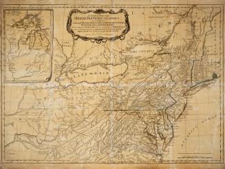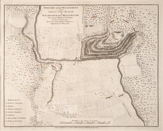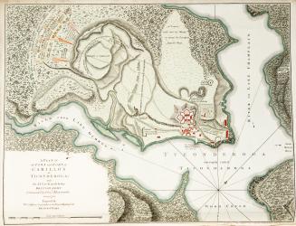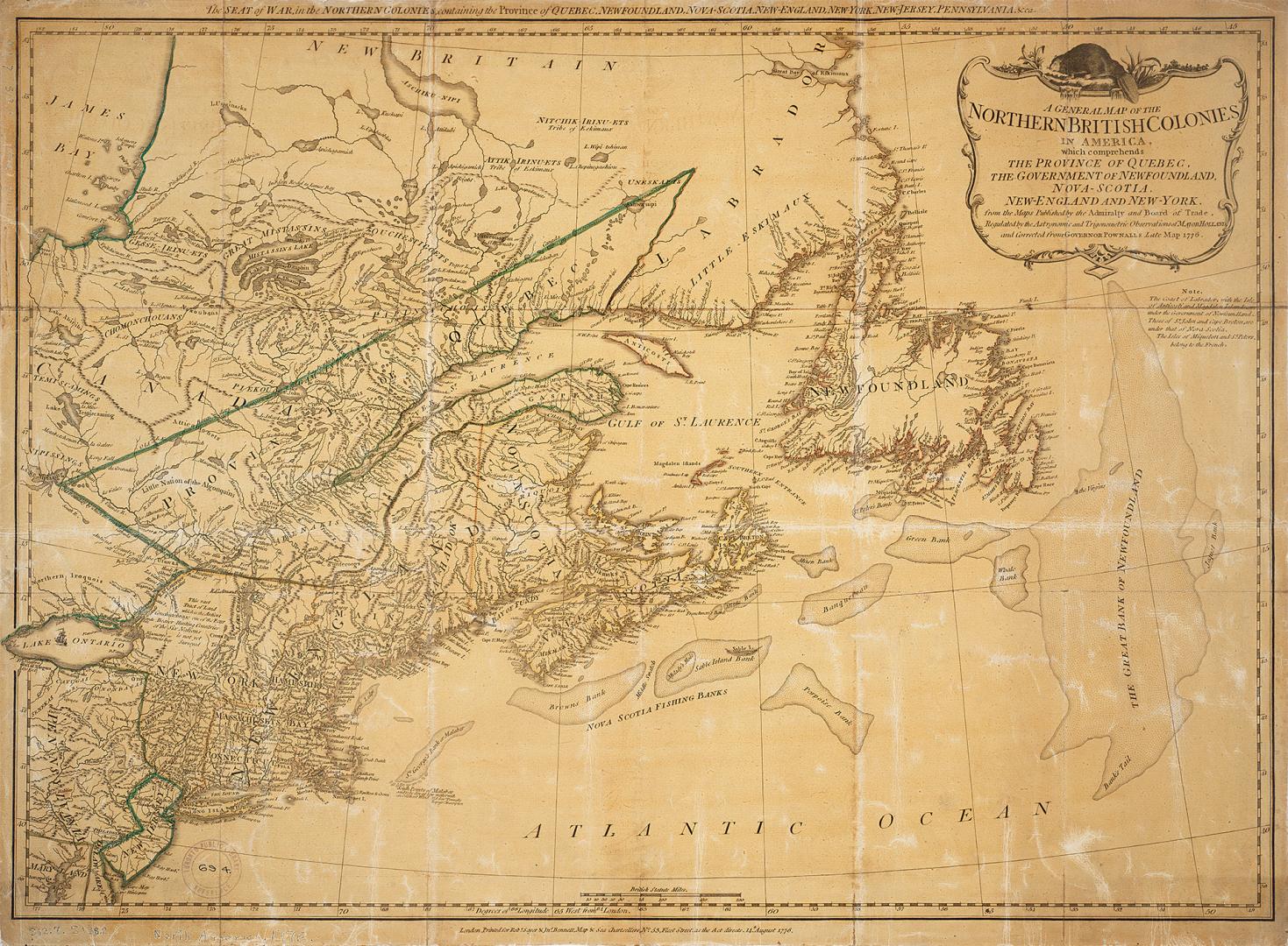

A general map of the northern British colonies in America
Date1776
Names
Bennett, John
(contributor)
Holland, Samuel, 1728-1801
(contributor)
Pownall, Thomas, 1722-1805
(contributor)
Robert Sayer and John Bennett (Firm)
(publisher)
Sayer, Robert, 1725-1794
(author)
FormatMap
NotesA general map of the northern British colonies in America. Which comprehends the province of Quebec, the government of Newfoundland, Nova-Scotia, New-England and New-York. From the maps published by the Admiralty and Board of Trade, regulated by the astronomic and trigonometric observations of Major Holland and corrected from Governor Pownall's late map 1776.
Medium
Dimensions51 x 68 cm Scale ca. 1:3,700,000.
Language
CollectionBaldwin Collection of Canadiana
Usage Rights
Public Domain
(Learn More)
Object Number912-7-S-138-2-SMALL
Dewey912.7 S138.2 SMALL