Skip to main content
Digital Archive
Site maintenance in progress — some items may not be available
Expand
Share
Order Reproduction
Download
1920 x auto
(full)
IIIF
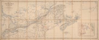
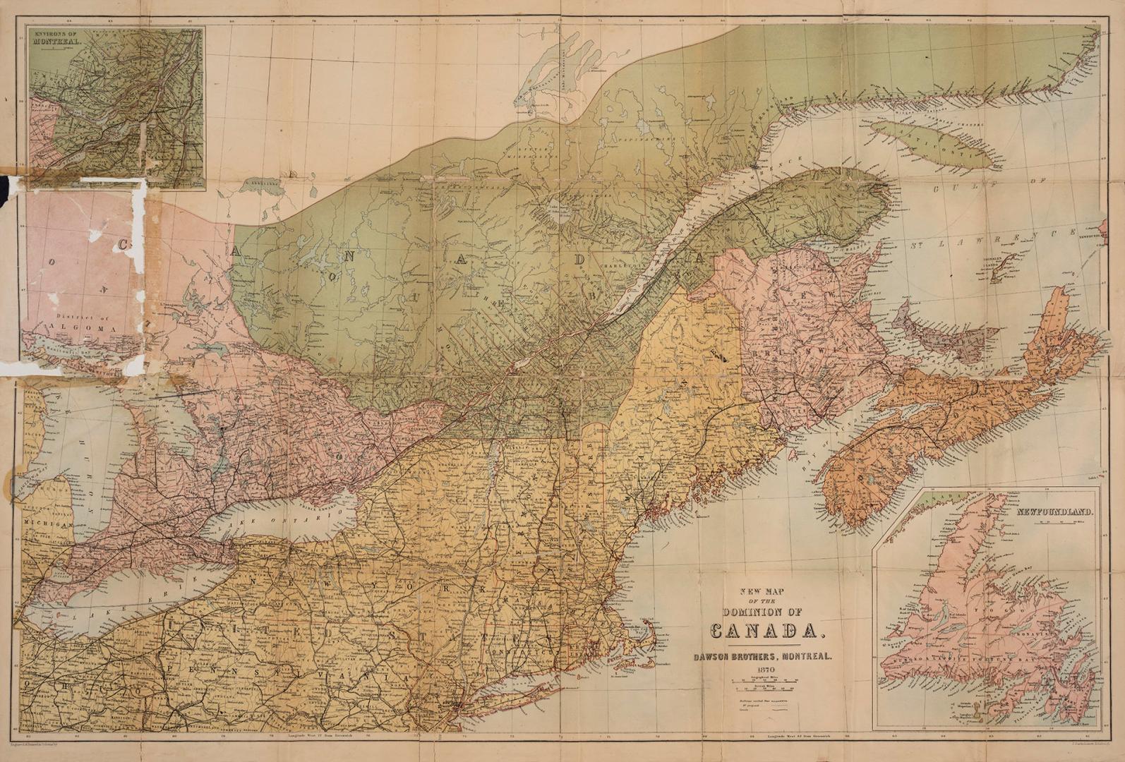
New map of Canada, New Brunswick, Nova Scotia &c.
Previous
Next
1920 x auto
(full)
New map of Canada, New Brunswick, Nova Scotia &c.
Date
1870
Names
Bartholomew, John, 1831-1893
(contributor)
Dawson Brothers
(author)
Dawson Brothers
(publisher)
Format
Map
Subject
Maps
Medium
Undefined
Dimensions
56 x 83 cm
Language
English
Collection
Baldwin Collection of Canadiana
Usage Rights
Public Domain (
Learn More
)
Object Number
912-71-D136-1
RDF
XML
JSON
Discover More
New map of Canada, New Brunswick, Nova Scotia &c.
1867
Robertson collection: catalogue of the maps and plans of the Town of York, Upper Canada, 1788-1834 and of York after being incorporated as the City of Toronto from 1834-1908. Also a collection of miscellaneous maps, plans and drawings of places in other parts of the Dominion, particularly the Provinces of Ontario, Quebec, Nova Scotia and New Brunswick ...
1908
Stanford's map of the Dominion of Canada, comprising Ontario, Québec, New Brunswick & Nova Scotia with Breton Id. also the separate province of Prince Edward Island extending from the Gulf of St. Lawrence to Lake Superior and including the adjacent parts of the United States from New York to Chicago with the railways, roads & canals
Approximately 1870
Map of the United States of North America, Upper & Lower Canada, New Brunswick, Nova Scotia & British Columbia, Mexico, Cuba, Jamaica, St. Domingo [Dominican Republic and Haiti] and the Bahama Islands
1862
Map of Canada with part of New Brunswick & Nova Scotia shewing the line of Grand Trunk Railway and its connections
1860
To his most excellent majesty King William IVth this map of the Provinces of Lower and Upper Canada, Nova Scotia, New Brunswick, Newfoundland & Prince Edward Island with a large section of the United States
1831
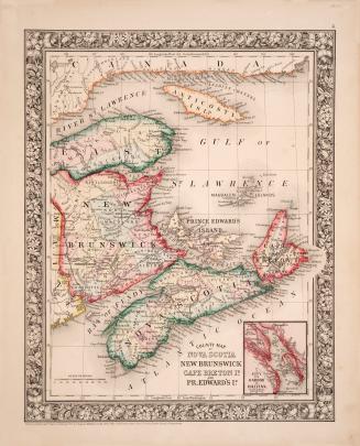
County map of Nova Scotia New Brunswick Cape Breton Id. and Pr. Edward's Id.
1860
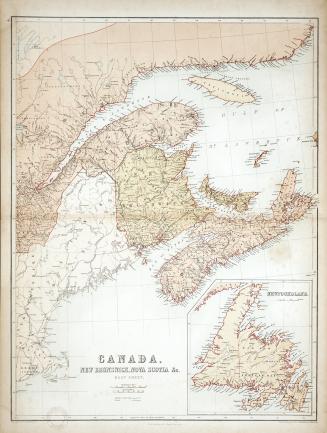
Canada, New Brunswick, Nova Scotia &c. East Sheet.
1856
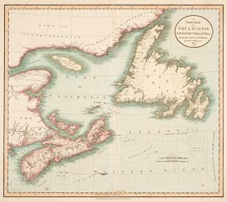
A new map of Nova Scotia, Newfoundland &c. from the latest authorities
1807
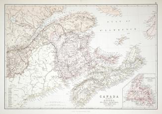
Canada, the Provinces of Québec, Nova Scotia, New Brunswick, Prince Edward Island and Newfoundland
1880
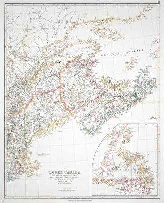
Lower Canada, New Brunswick, Nova Scotia, Prince Edward Island, Newfoundland and a large portion of the United States
1838
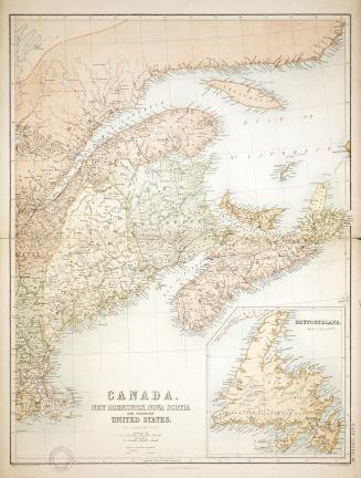
Canada, New Brunswick, Nova Scotia and Northern United States
1856


![Map of the United States of North America, Upper & Lower Canada, New Brunswick, Nova Scotia & British Columbia, Mexico, Cuba, Jamaica, St. Domingo [Dominican Republic and Haiti] and the Bahama Islands](/internal/media/dispatcher/2243570/thumbnail)