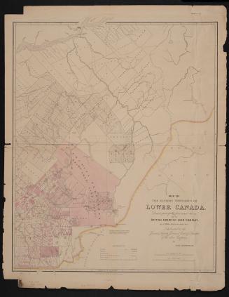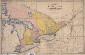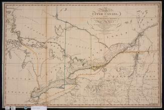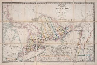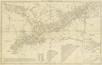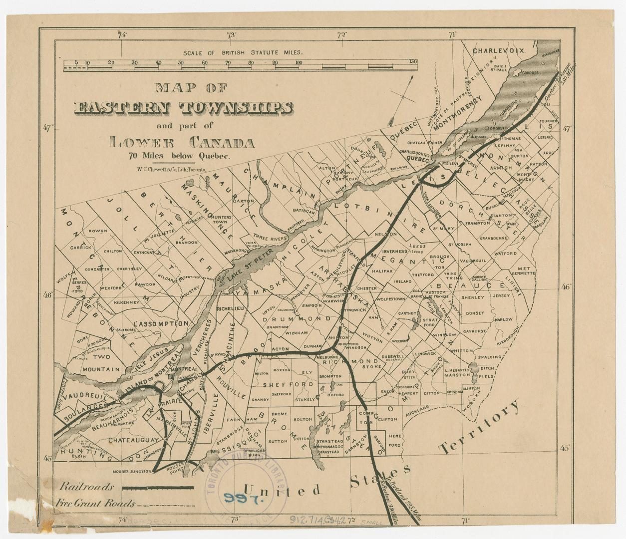

Map of Eastern Townships and part of Lower Canada 70 miles below Québec
DateApproximately 1861
Names
W.C. Chewett & Co.
(lithographer)
W.C. Chewett & Co.
(publisher)
FormatMap
Notes| Shows townships in southern Québec, railroads and free grant roads. W.C. Chewett & Co. publishers and lithographers. |
Subject
Medium
Dimensions20 cm x 23 cm (7 7/8 in. x 9 1/16 in.)
ScaleApproximately 1: 1 800 000
ScaleBar scale (British Statute Miles)
Language
CollectionBaldwin Collection of Canadiana
Usage Rights
Public Domain
(Learn More)
Object Number912-714-C34-2-SMALL
Dewey912.714 C34.2 SMALL